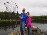
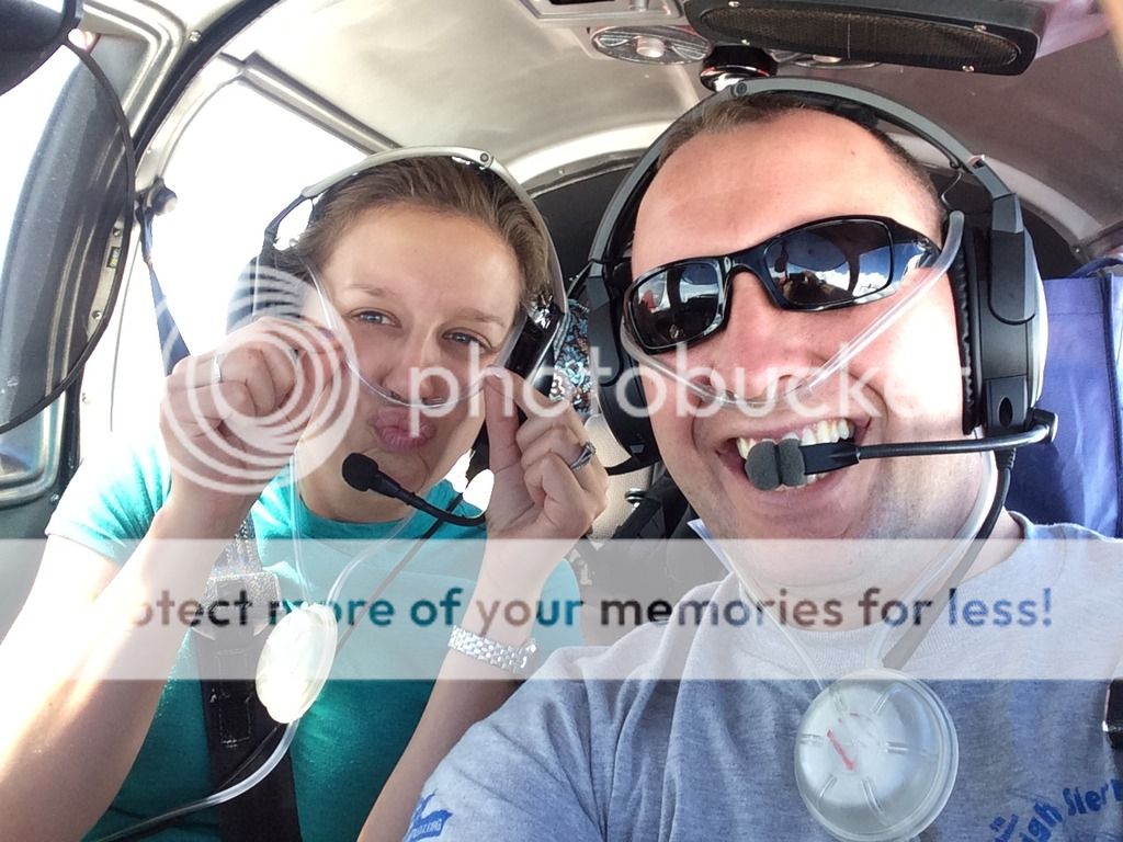
Back in 2014 my wife and I got engaged and quickly got married due to it being a good time for our schedules. However it didn't leave time for us to go on a honeymoon as we quickly moved to a different state. But before that even happened she told me that instead of going to Hawaii we could fly around the country and go to several places we wanted to visit. My jaw practically hit the floor when she told me this! I think it's just about any pilots dream to have their spouse want to fly all over the country with them, and to make it the (late) honeymoon....wow! I am very lucky to have an amazing wife and she does great when flying. And would you believe she used to not like flying, now she just doesn't like commercial flying. I think it's cause showing up in style just beats showing up to a terminal.
And so planning started.....
We knew that we wanted to hit up a few specific places on our trip. We also wanted to make sure that we had the chance to visit our friends and family along the way, kind of a combo trip. The final stop would be the Bahamas. Soon we decided that we would also visit Maine and Nashville on our trip. So quickly I knew the stops we wanted to make, now I just had to flight plan. That's the fun part for the pilots, but also lots of work when you want to make sure everything goes smooth.
This is the itinerary we came up with:
Johnstown, Pennsylvania (friends)
Bar Harbor, Maine (vacation/lobster)
Caldwell, New Jersey (Grandparents & friends)
Mt. Pocono, Pennsylvania (Family)
Jim Thorp, Pennsylvania (Family)
Carlisle, Pennsylvania (Family)
Raleigh, North Carolina (Friends)
Eluethera, Bahamas (Vacation/sun/did I mention beaches?)
Nashville, Tennessee (Fun/Vacation)
Mt. Rushmore, South Dakota (self explanatory)
Missoula, Montana (friends)
As you look at that it makes you think.....jeez... this must be a month long trip! Nope, it was only a 16 day trip. This meant that I would need to do a lot of flying in the beginning and at the end. Nothing we couldn't do safely.
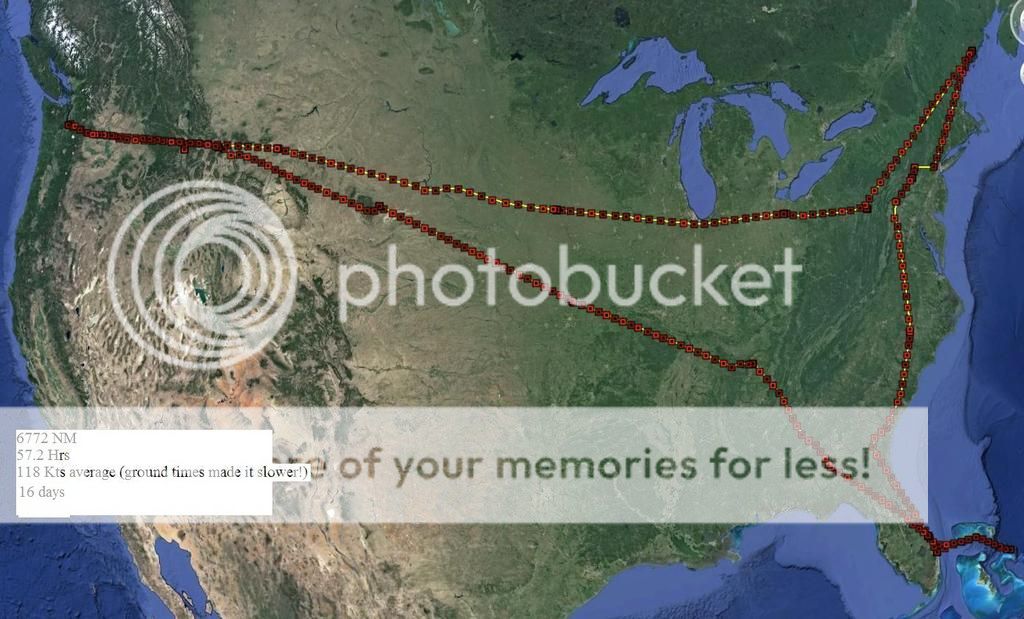
After almost a year of planning we finally came up with the final plan for our 16 day trip. This would is the full route.
S50 KRPX KMWM (KSMD or 16G) KJST KBHB KCDW KMPO 22N N94 KHRJ KFPR MYEM KFPR KJWN KEZZ KRAP 32S S50 (Roughly 6700NM)
Let's just say that things don't always go as planned, especially on such a big trip. So it's good to have other plans just in case. But really this trip worked out pretty well as you'll see. Also this report is long, but also will have some great details so stick with me!
Aircraft information:
For non pilot/aviators that are reading: NM= Nautical Mile KTS=Knots 1Kt(s)=1.15 MPH
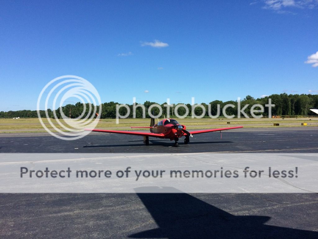
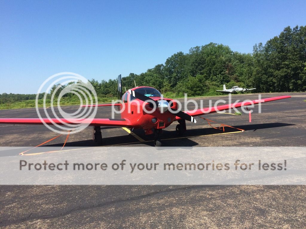
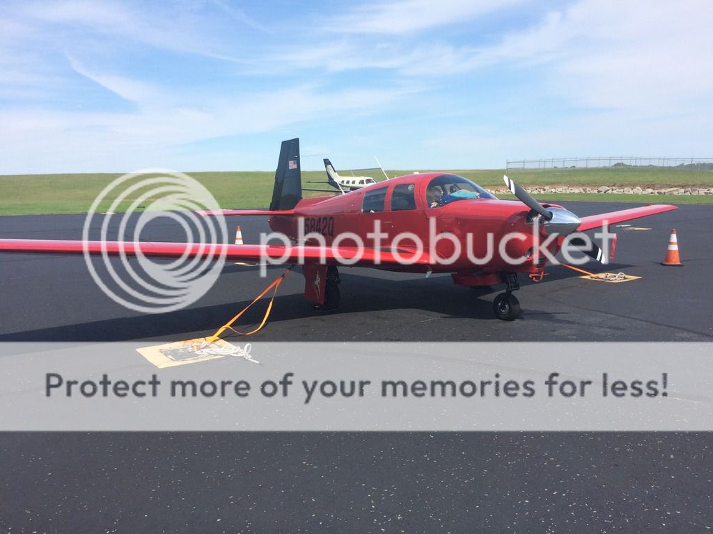
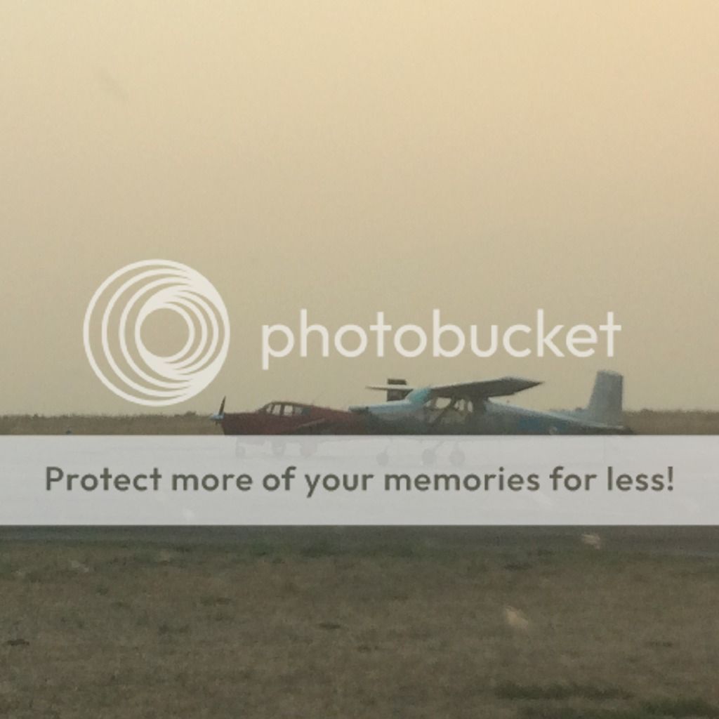
Mooney M20C N5842Q 140kts planned cruise speed.
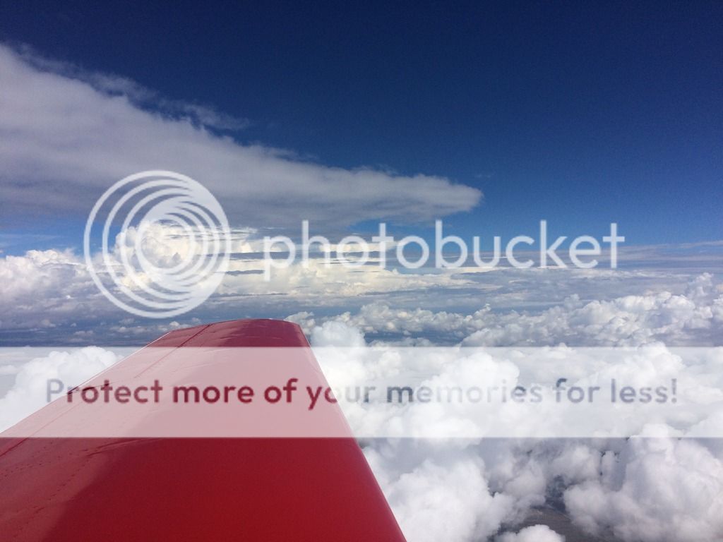
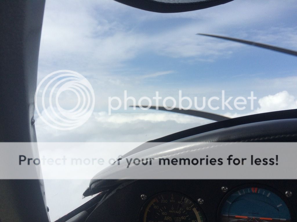
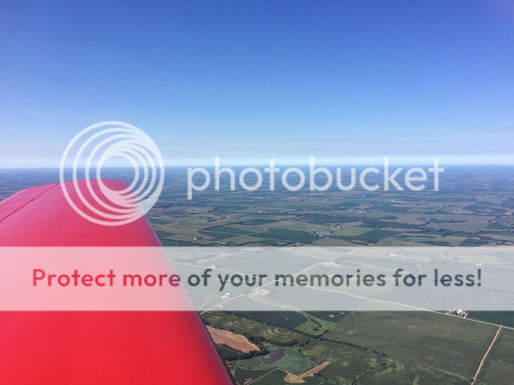
Day 1 (Time for a long day) 1718NM and right at 12 hours. The goal was to get across the country as far as possible and sleep, wake up and continue to our friends place in Johnstown, PA.
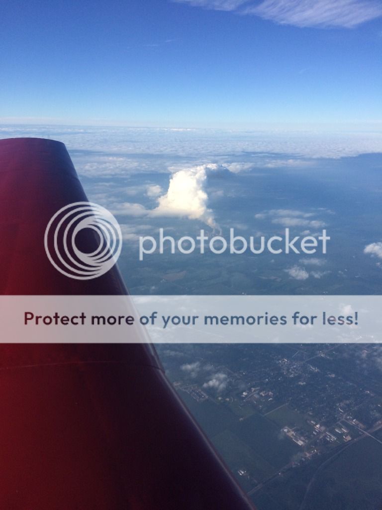
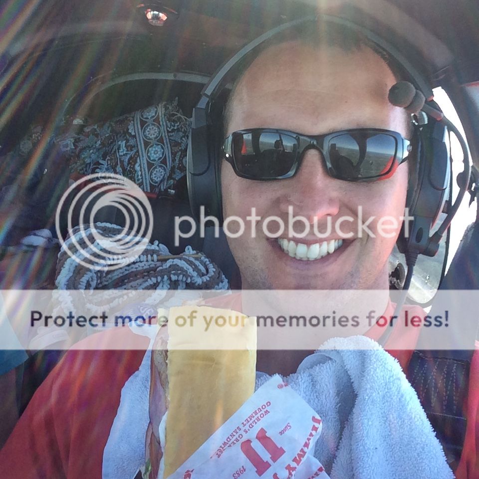
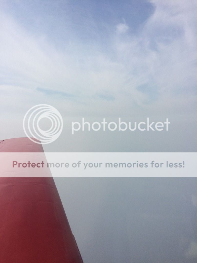
Leg 1: S50- KRPX-- We departed Auburn, WA around 5 am for our first 4 hour leg to Roundup, MT. The first leg was easy and we only had to deviate a little for weather south of Spokane, the remaining 3 hours was easy. We had previously purchased some Jimmy Johns for our next flight so when we landed fueled, used the bathroom and took off again. Roundup Airport does have a Courtesy car & cheap fuel!
Climbing out over the Cascades
Moses Lake area

Montana

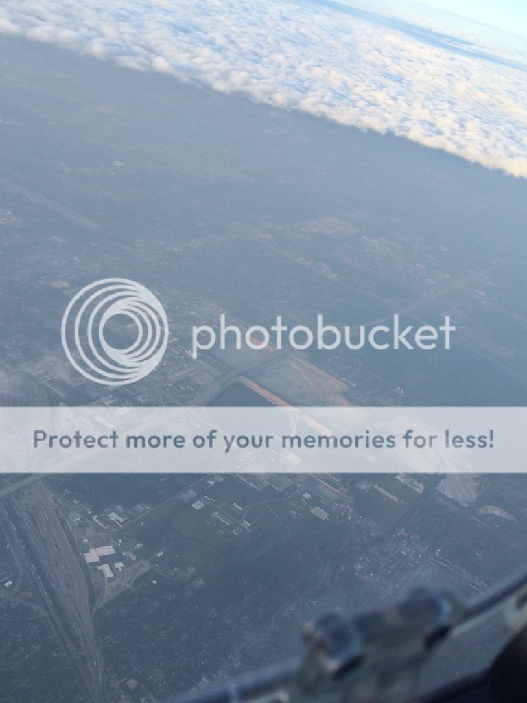
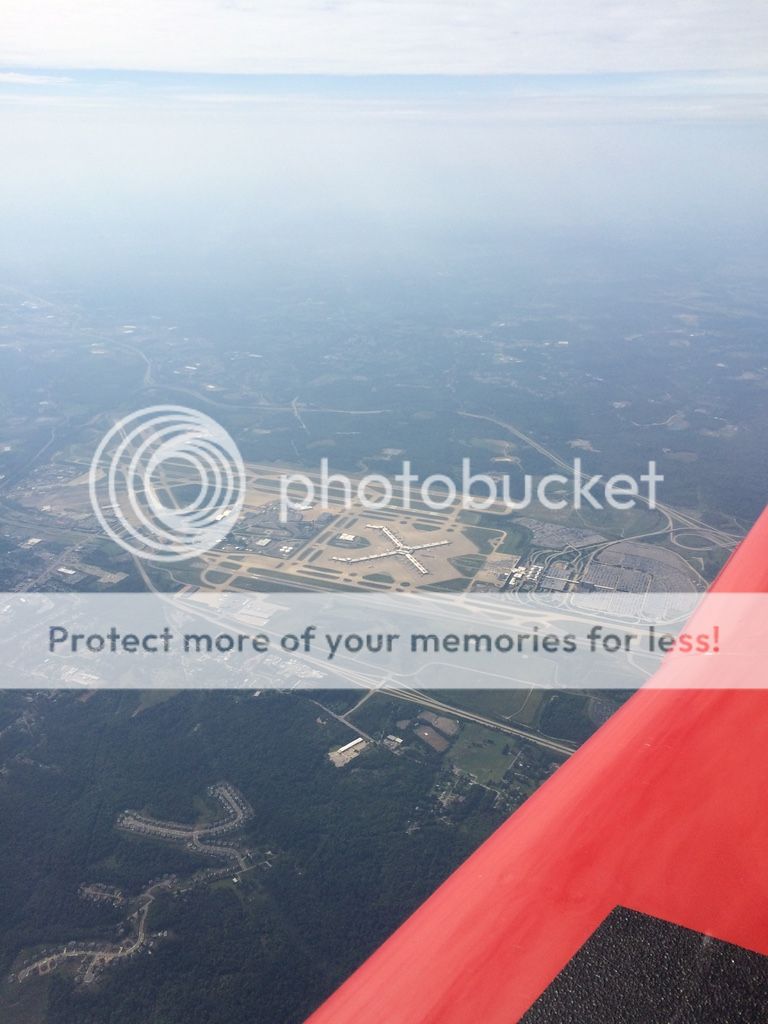
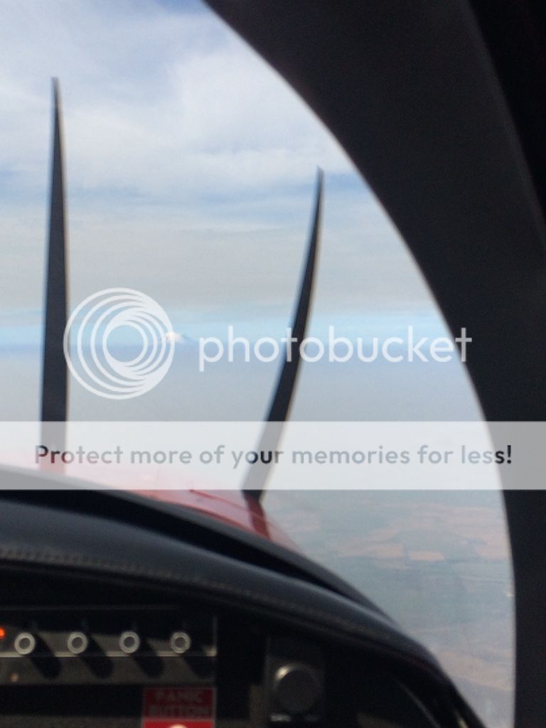
Leg 2: KRPX - KMWM....scratch that KAXA -- Coming into Roundup I could already see on the radar that I would have to deal with some weather ahead. I was lucky to have a stratus loaned to me by my Friend Jeff Miller, thanks Jeff! But initially I relaxed and ate my Jimmy Johns #17. Yummy! As the afternoon storms built we had to start deviating, but it really wasn't too bad. However we did have to change our destination because a storm was parked right over it. We ended up instead in Algona, Iowa (KAXA). As I started to descent out of 13,000ft I quickly realized this would be a deadly stop....deadly for the bugs!! The window and wings started to get covered before even passing through 10,000 Ft...yikes! The landing was uneventful, although I think we counted 2 landings. I was a bit hungry and ready for a little break. We pulled up our trusty Yelp add and found pretty much the only place that would be quick, but a sit down place. "The Pizza Ranch" (http://www.yelp.com/biz/pizza-ranch-algona). We arrived around 4:40 and the place was empty, but that changed cause at 5pm the buffet opens. And I think this must be the most popular place in town because soon over 20 people showed up. Therefore if you're looking for a place to eat....Pizza Ranch...if you wait till 5 you can get the buffet. We just ordered a pizza and it was pretty good. We then headed back to the plane and decided we'd just fly till the sunset or maybe to the place we'd like to go depending on how we feel.
The WX we had to deal with..
Oxygen!
Death...of bugs..
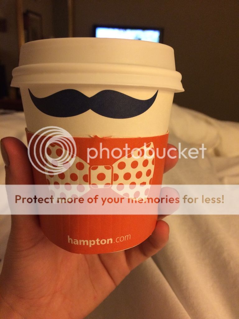
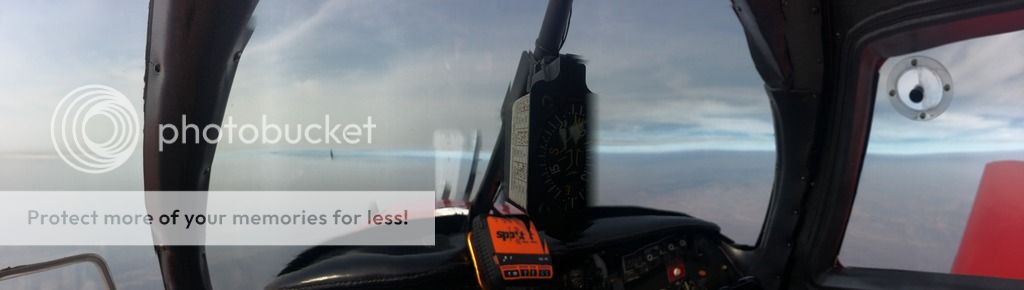
Leg 3: This leg was a non-event. The weather was great almost the whole way, I did end up on top and got a pop up IFR clearance. Even as I passed just south of Chicago at 11,500Ft I had no complaints by center or approach for my location. Which really surprised me. About 40 minutes out I decided to get on an IFR clearance so we could descend through a layer. We did and it was clear and a million VFR below. We landed at 16G - Seneca County Airport just 20 minutes after sunset. I had planned head that if we had a good day we would make this airport. I coordinated with Tiffin Aire (http://www.tiffinaire.com/en/Home.aspx) and they left a courtesy truck for us to borrow. This was awesome and we soon found ourselves crawling into bed at the local Hampton Inn.
Near Chicago
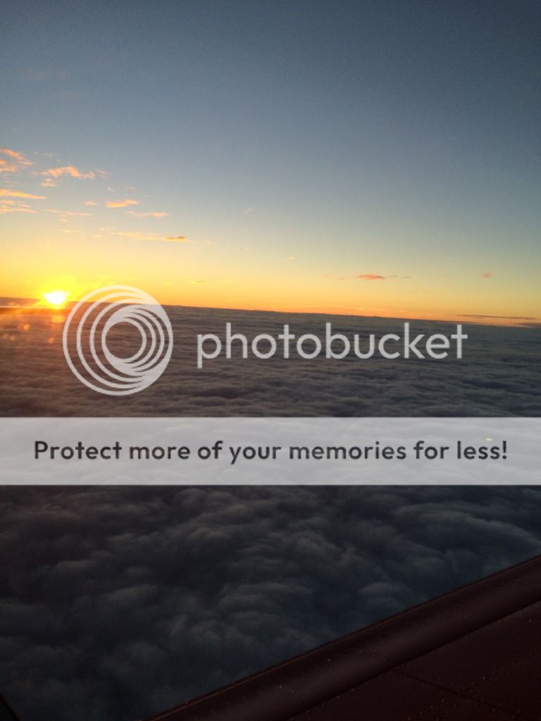
Our amazing day 1 sunset
Hot chocolate...why not!
Day 2: 205NM and 1.5hours. This day was easy as pie compared to day one. I filed IFR because JST was socked in as I departed. Soon, despite being skeptical I was cleared direct destination (which took me right over KPIT class Bravo....nice! I shot the RNAV approach into Johnstown, PA and the friendly line guy at MTT helped us with our bags. Our friend picked us up and soon we headed off to lunch at a delicious local bistro. http://www.yelp.com/biz_photos/press-bistro-johnstown If you go and want some food, try this place. They also have beer, wine and other good drinks.
Pittsburg
Drinks at the Bistro
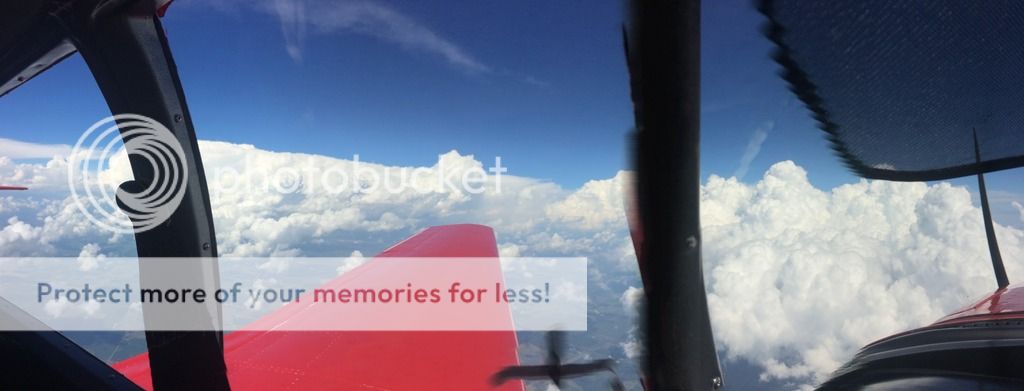
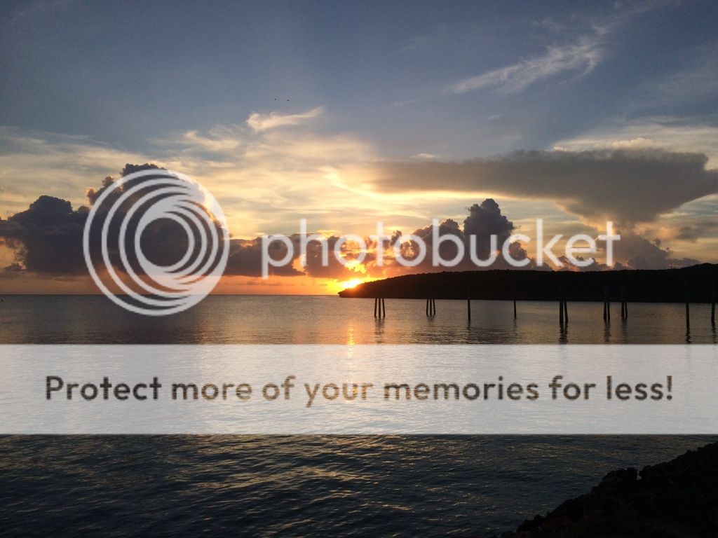
Day3: 527NM and 3.8 hours. Not so fast....we planned to leave early so we could have lunch in Maine. But the weather changed those plans. There was a cold front with thunderstorms that passed us during our stay in Johnstown and now we had to get through it but had a wall between us and Bar Harbor. We waited a few hours, had some pancakes and took off around 10. The weather had improved but we still had a wall we had to get through. Luckily by the time we hit the wall it was only light to moderate rain, but it lasted an hour. By the time we got to the other end of the Wx it was time to start our descent. 190kts of the ground wasn't too bad.
Wx
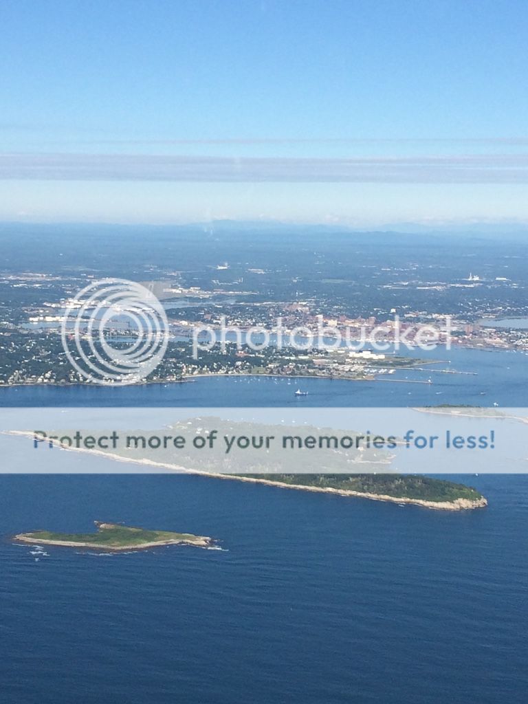
Maine....and ground!!
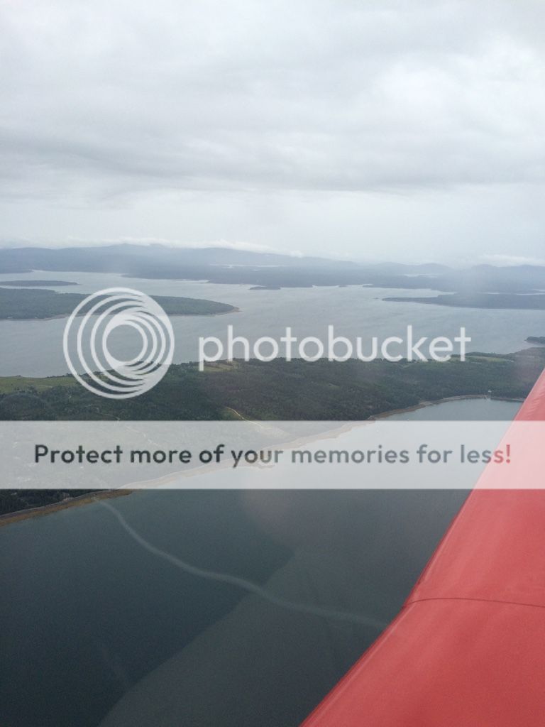
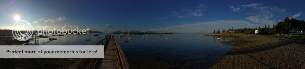
Bar Harbor, Maine
This is the best part about trip reports, getting the information so that hopefully others can use it if they ever decide to go to these places. I know, we all love pictures but sometimes we need the info!
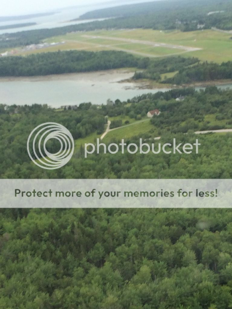
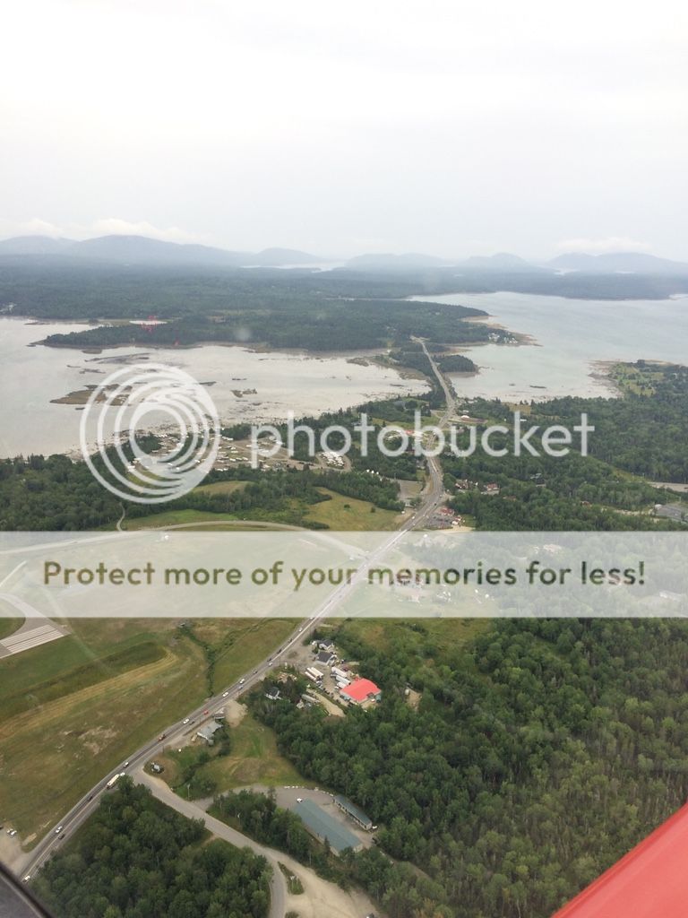
Airport to fly into: I chose Bar Harbor airport (KBHB) because it was of course near my destination and it also had rental cars. I used enterprise, and initially I booked 6 months out, checked the rates again 3 months out and cancelled my first reservation and rebooked saving myself $30. The airport is very accommodating and Columbia Air Services had the airplane fueled up on request when I was ready to leave. Also if you fly IFR they have multiple approaches so you'll likely get in. Also Silver Airways does have a daily fight, if you can't get in or get stuck.
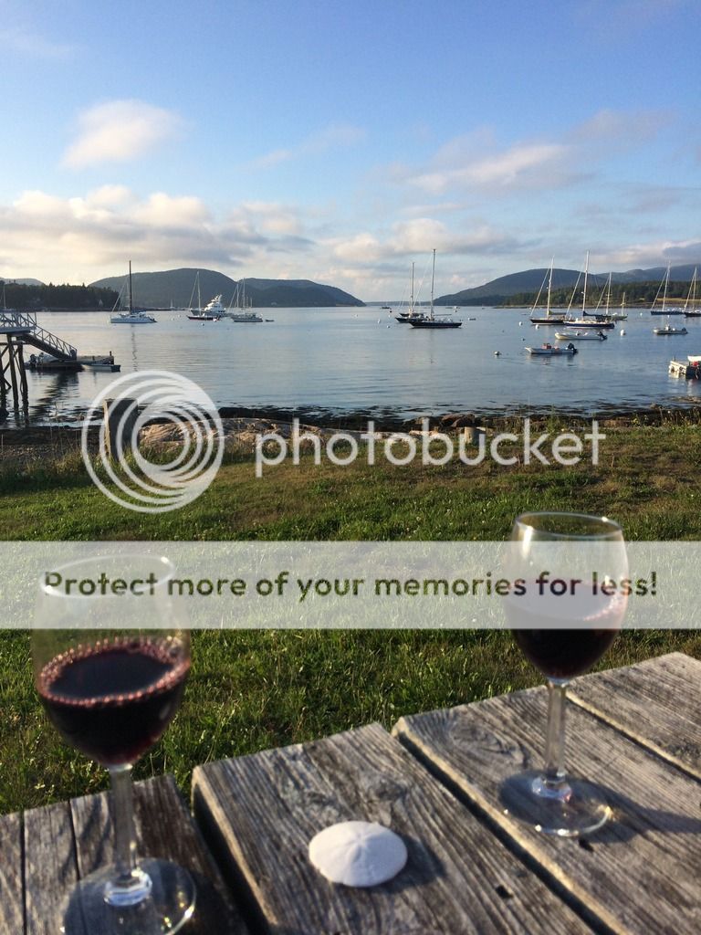
Lodging: We aren't super fancy people and I couldn't justify spending the $250+ a night for a hotel/inn near downtown Bar harbor. So, instead I started looking around and found another nearby town called Southwest Harbor. They had several places to stay, and I actually found a place for $150 a night. It was just what I needed, a nice room and a great view. I later learned that it had a much better view than many of the expensive Bar Harbor locations. The place is called "The Moorings Inn Waterfront." If you plan to visit Bar Harbor, plan far ahead. Along with expensive rooms, they get booked up over 6 months in advance. Here is the link to the Moorings (http://www.mooringsinn.com/) We stayed in the "Theoline" room. Great view, sorry no TV in the room. They do have a breakfast but we decided to go into Bar harbor (BH). It's only a quick 15-20 minute drive over to Bar Harbor and it's much quieter too!
View from the room the night we arrived (storm rolling in)
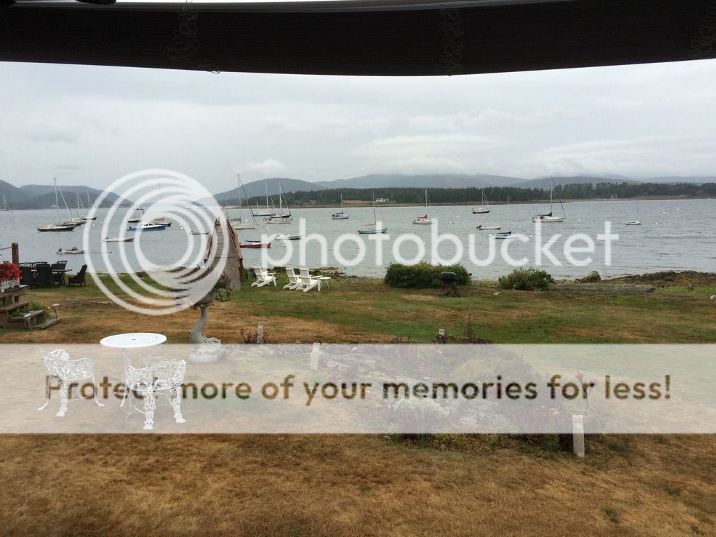
When the weather cleared up outside the Inn
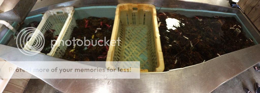
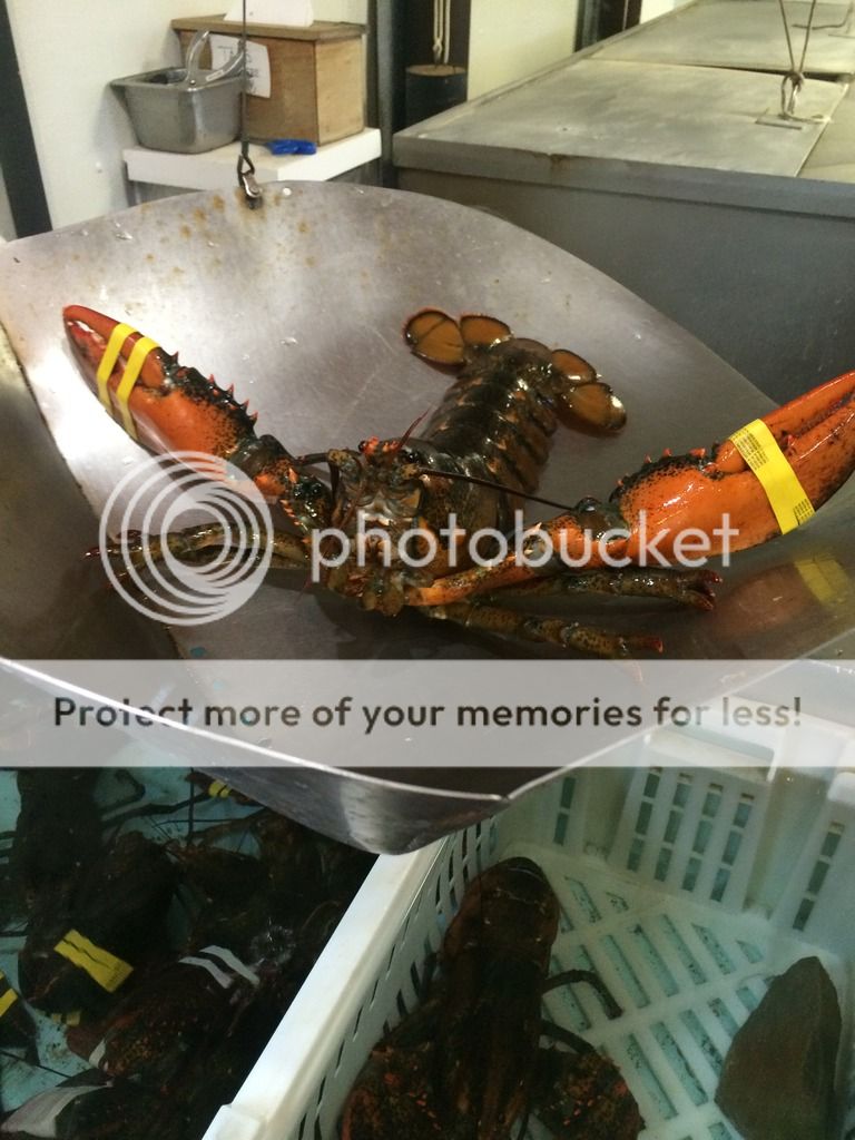
Places to eat: Southwest harbor has some good places to eat and so does Bar Harbor. We again used yelp. "Beal's Lobster Pier" (http://www.yelp.com/biz/beals-lobster-p ... est-harbor) was close to the Inn so we headed over after checking into the hotel. The place is very relaxed, you order, find a seat and pick up your food at the window when your buzzer goes off. We got an almost 4lb lobster and we were stuffed!
"I AM NOT A CROOK!"


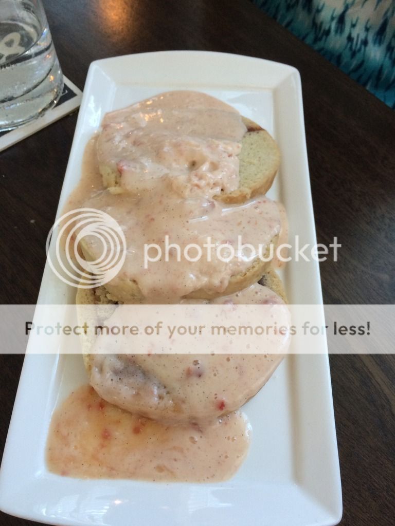
In the morning we drove to Bar harbor and ate at a delicious place called "2 Cats Inn and Cafe" (http://www.yelp.com/biz/2-cats-inn-and-cafe-bar-harbor). The wait wasn't very long for 2 and the food was amazing. We had the lobster Benedict and an omelet and we were set for food till dinner.

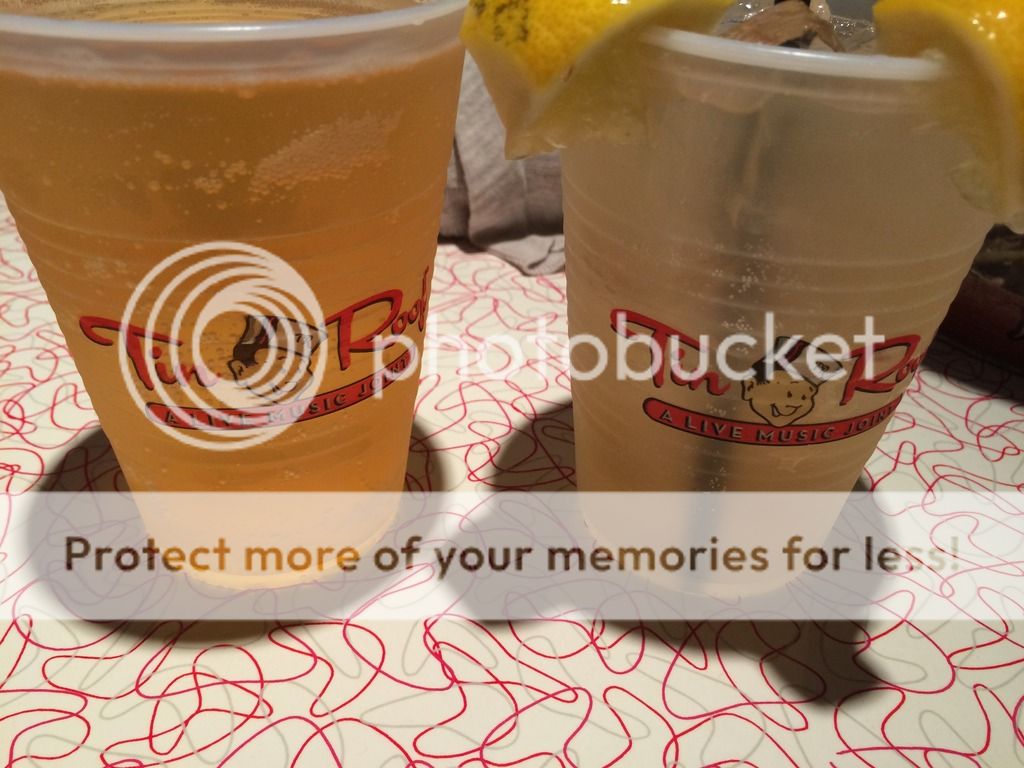
Food in Bar Harbor: Another place we had in Bar Harbor for dinner was the "Side Street Cafe" (http://www.yelp.com/biz/side-street-cafe-bar-harbor). We'd had too much lobster so we had the Mac & cheese with bacon, a slider and clam chowder. All of the food was fresh and delicious. I would highly recommend this place along with the others I mentioned. Just walking around Bar harbor it seems like there is a lot of great places to eat for all different price ranges.
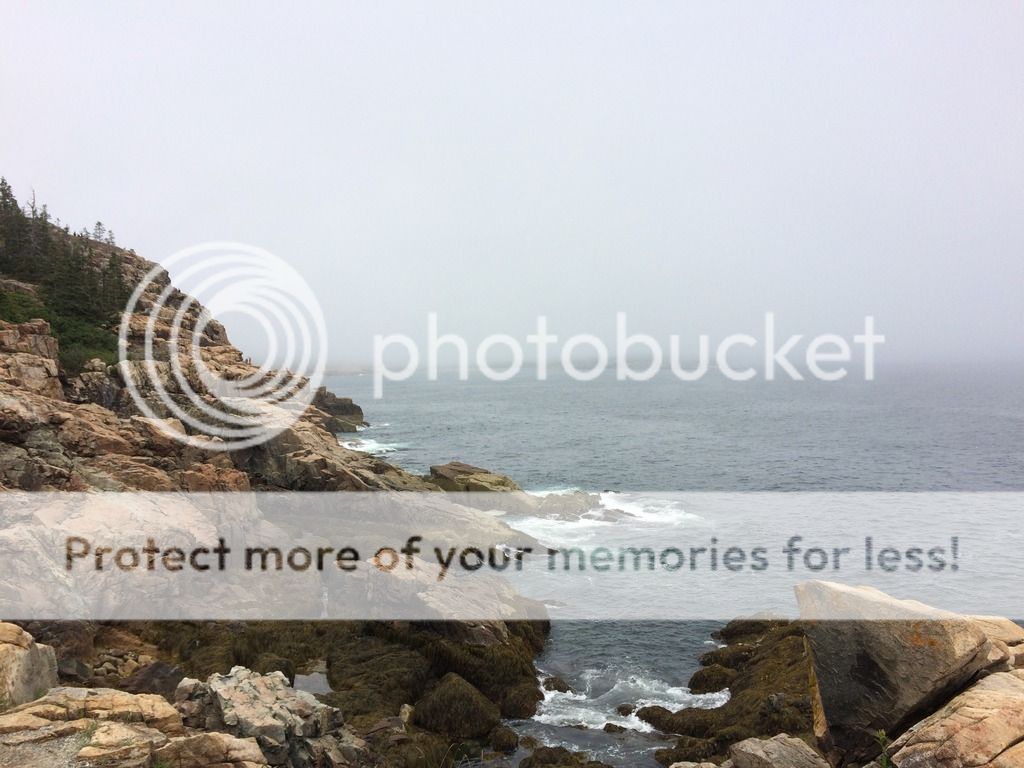
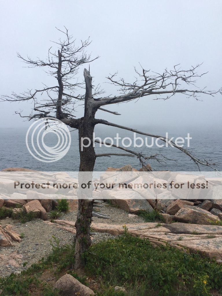
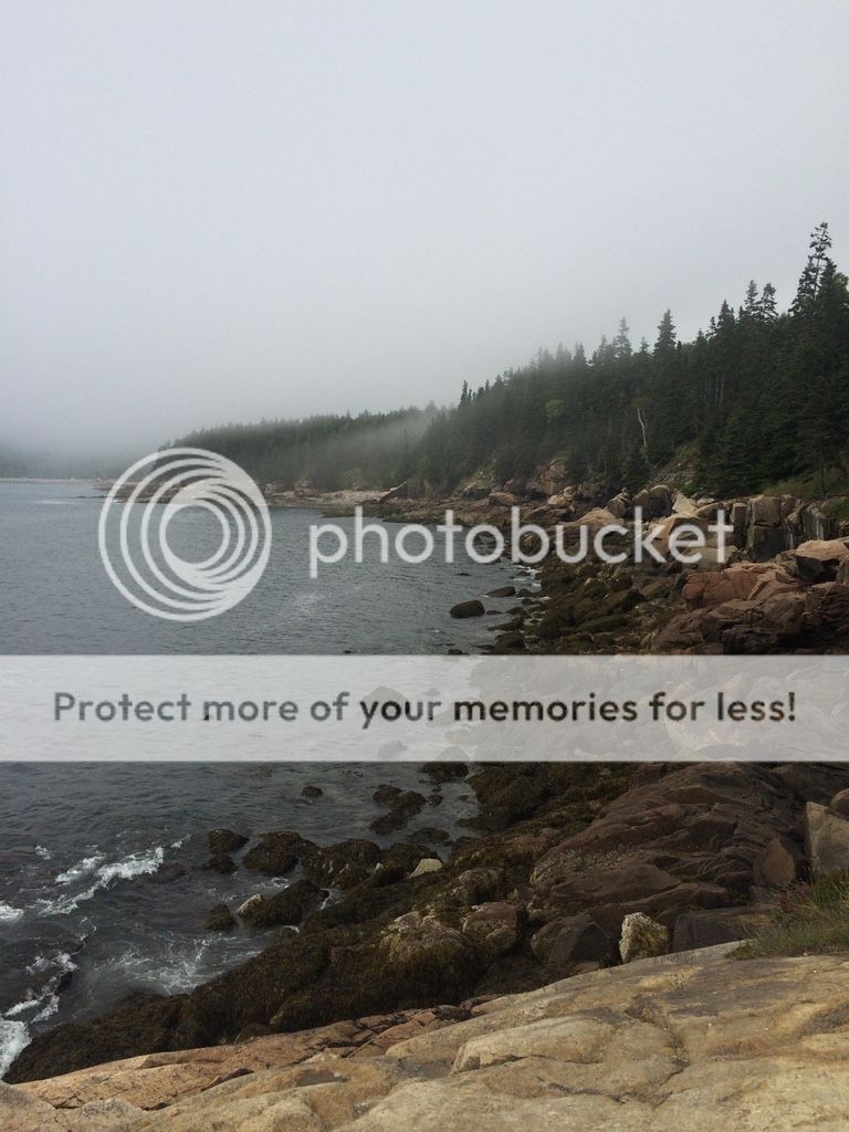
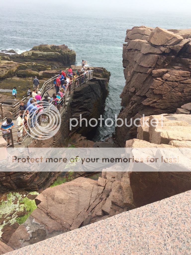
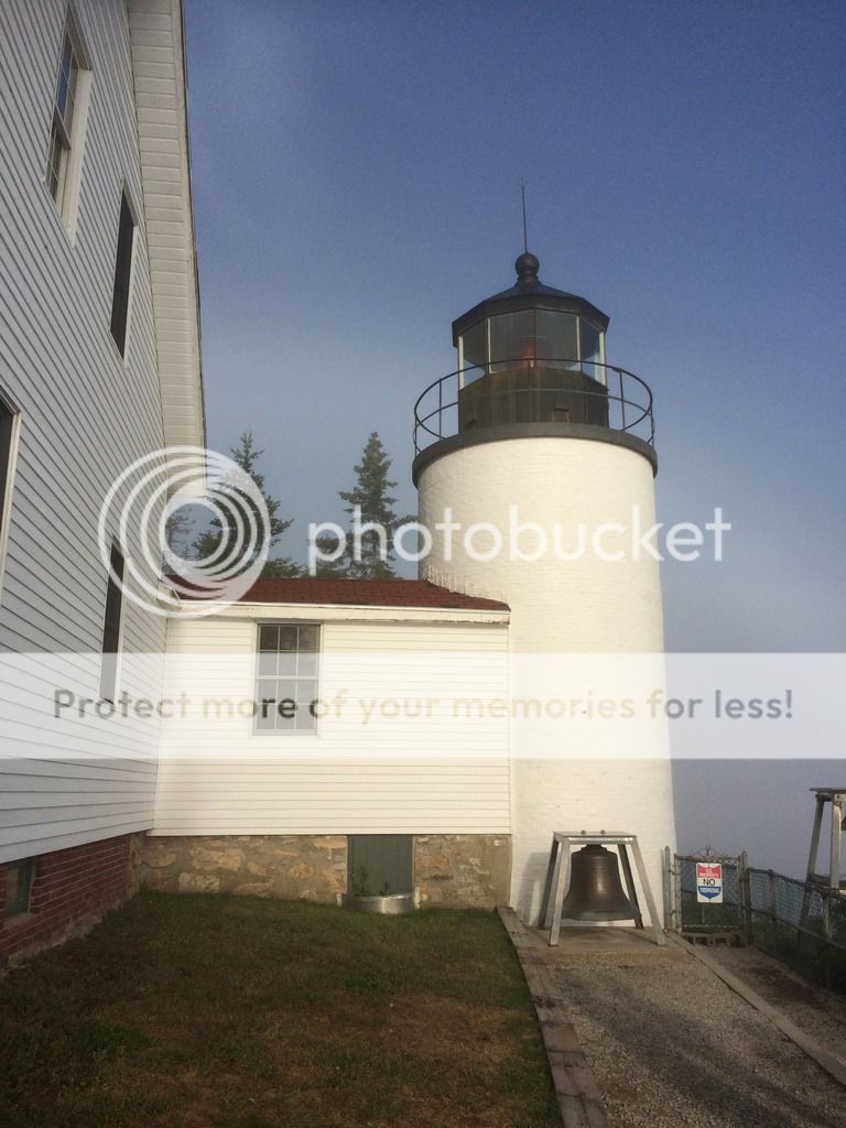
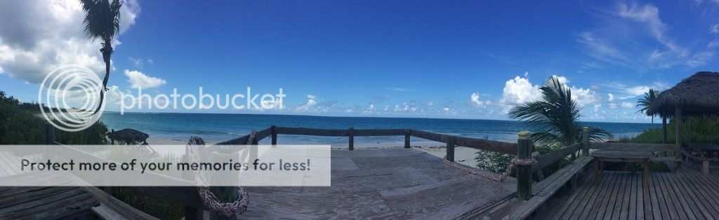
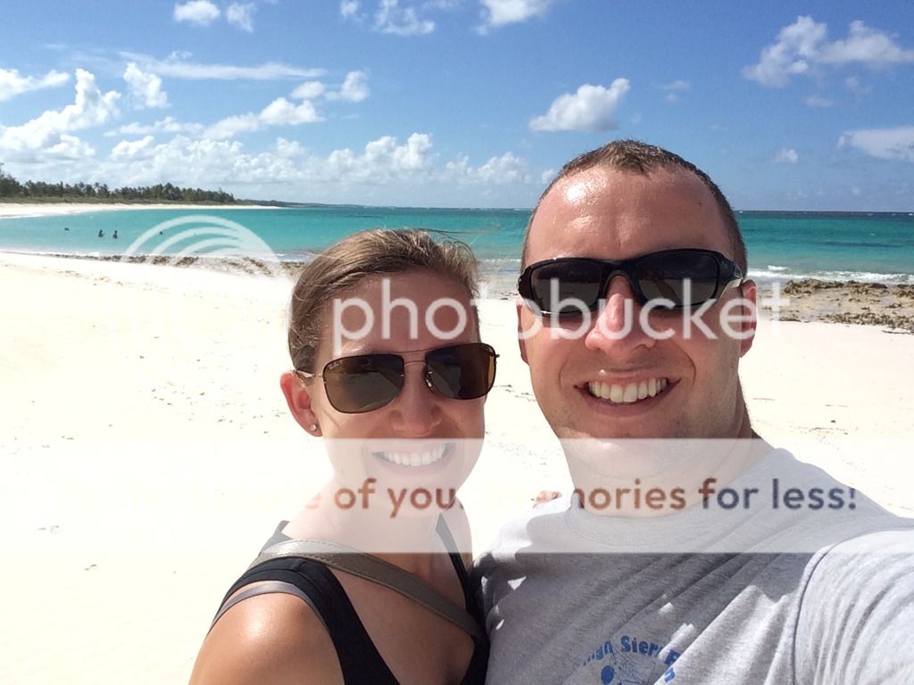
What to do: When in Bar harbor you can park and walk around the town, it's not that big. After you're done walking around the town you can jump in your car and drive to the Acadia National Park (http://www.nps.gov/acad/index.htm) They have great views, short hikes and longer hikes for anyone, most providing a great view. In the morning it was a bit foggy but it was still warm and nice out. We drove up to Cadillac Mountain then hiked on the southeast part of the island called "otter Point." We also hiked up "Thunder hole." Which we found out isn't that exciting at low tide. After hiking that we headed into town for a quick bit followed by our final stop out the Bass Harbor head Lighthouse. All provided great panoramic views.
Cadillac Mt.
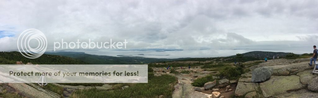
Otter point
Thunder Hole
Bass Harbor Lighthouse
Overall Bar Harbor & Southwest Harbor were a great experience and I would love to one day go back and visit. It was worth the extra trip to the north, just to then turn back around a couple days later to head south.
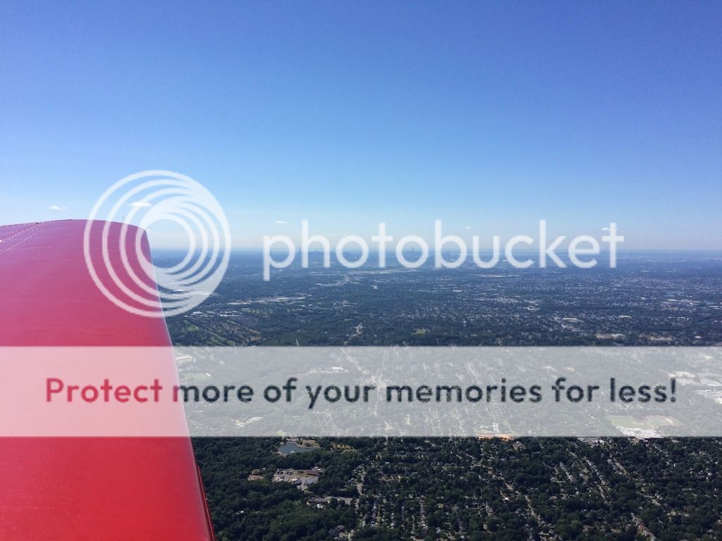
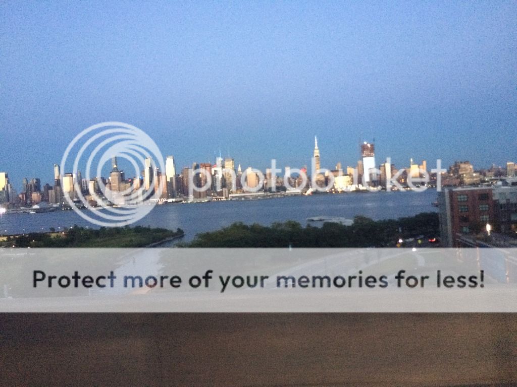
Day 5: 338NM and 2.5 hours KBHB-KCDW. The forecast had greatly improved since the day we got to Bar harbor. Although fog was present when we woke up, the fog had burned off by the time we took off. Due to headwinds we ended up flying between 3000-4500ft all the way to Fairfield, NJ. This ended up being awesome, we had a great view of the different states as we passed over. After landing in NJ we had lunch with our grandparents then headed into NYC to visit friends. I was "so lucky" to ride the subway for the first time. Let's say this was very different from Bar harbor!
Portland, Maine
NYC in the distance
Parked @ CDW
NYC from a Bus
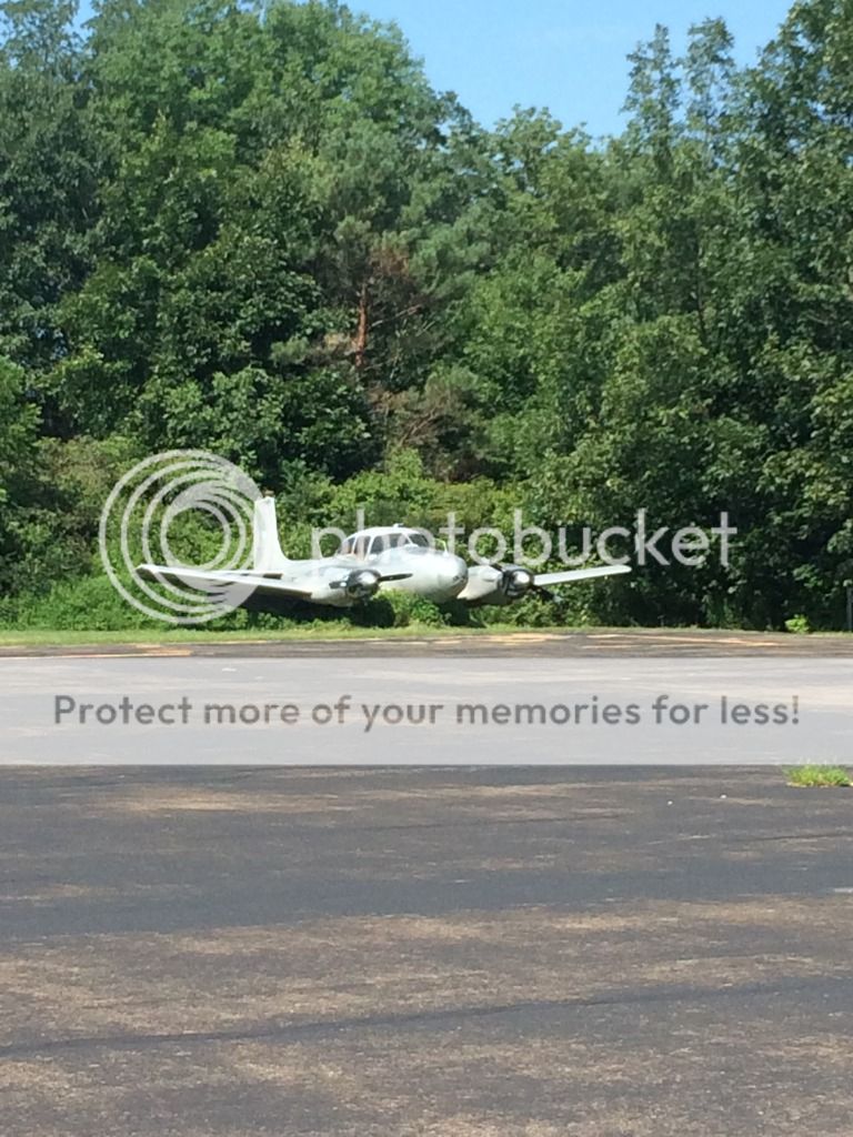
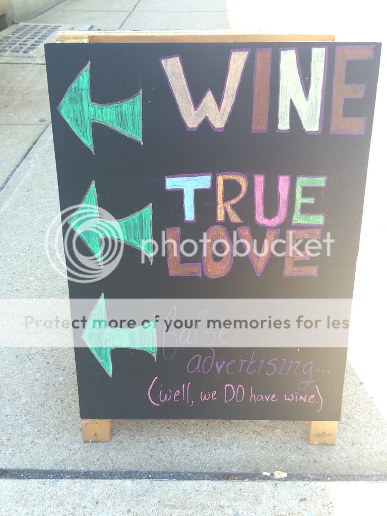
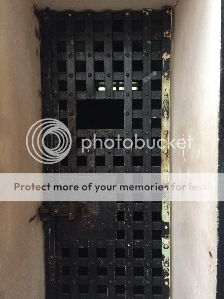
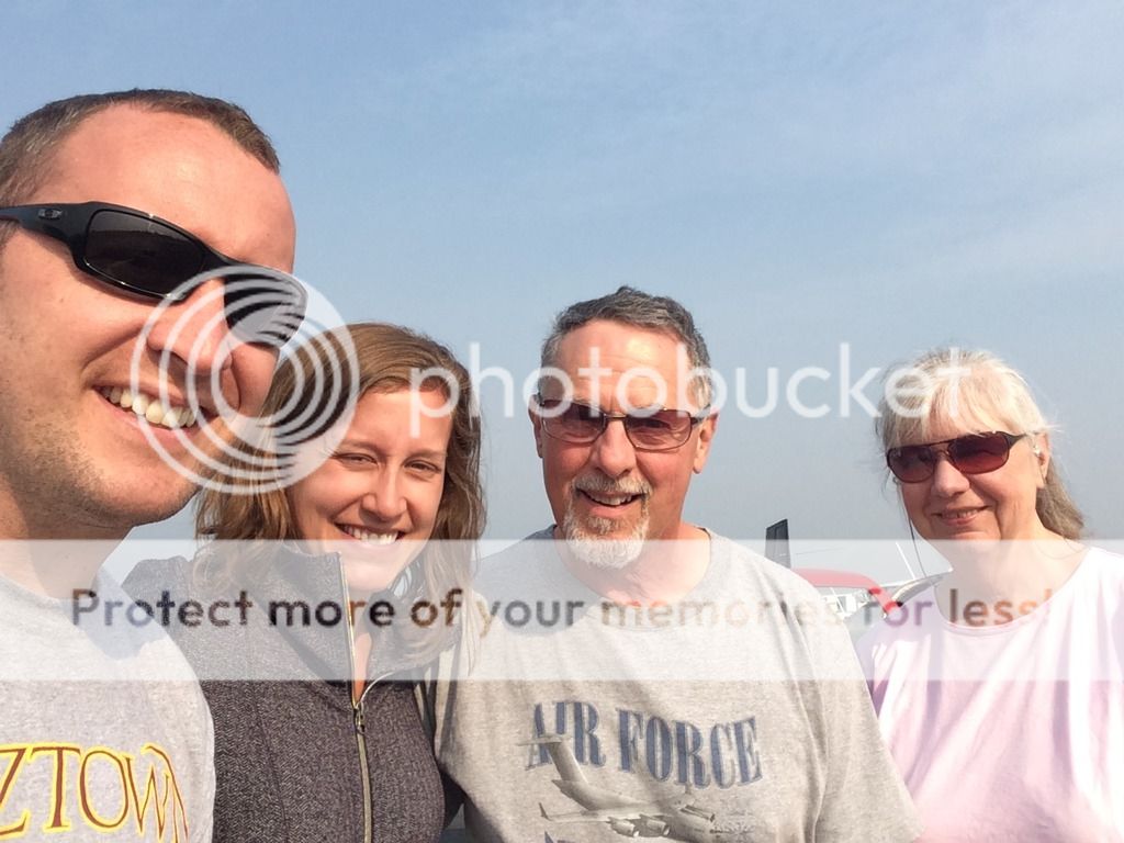
Day 6, 7, 8: KCDW- KMPO- 22N- N94- KHRJ. We stayed in NJ for the night, then on Friday started our daily hops to visit family. While in 22N, Lehighton, PA we headed into Jim Thorp to have lunch and walk around. We also found some good wine, and visited the old jail is known to have ghosts.
22N, Arner Airport
Ramp Queen
Wine Tasting
Jail
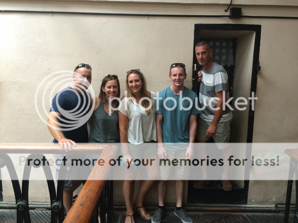
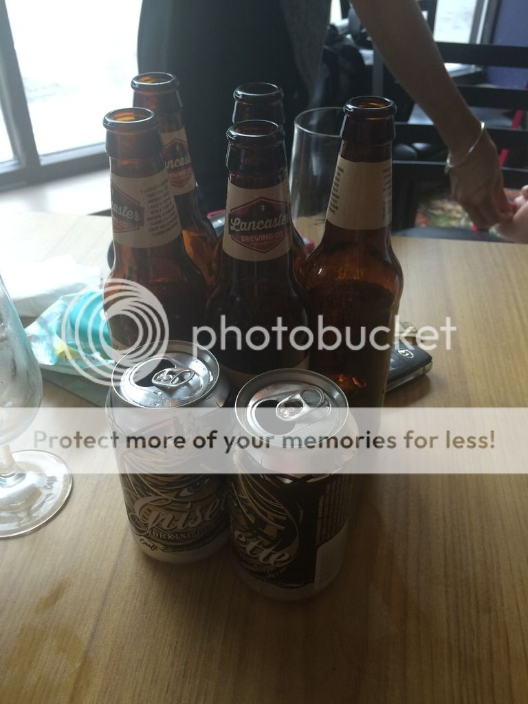
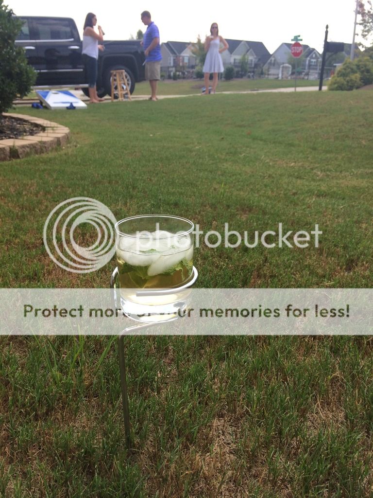
By Sunday we headed south to North Carolina to visit our friends south of Raleigh, NC. We had food, beverages and played some games. We had some great cup holders, which I think would be great to have at any airstrip while sitting in the grass!
Awesome cup holder
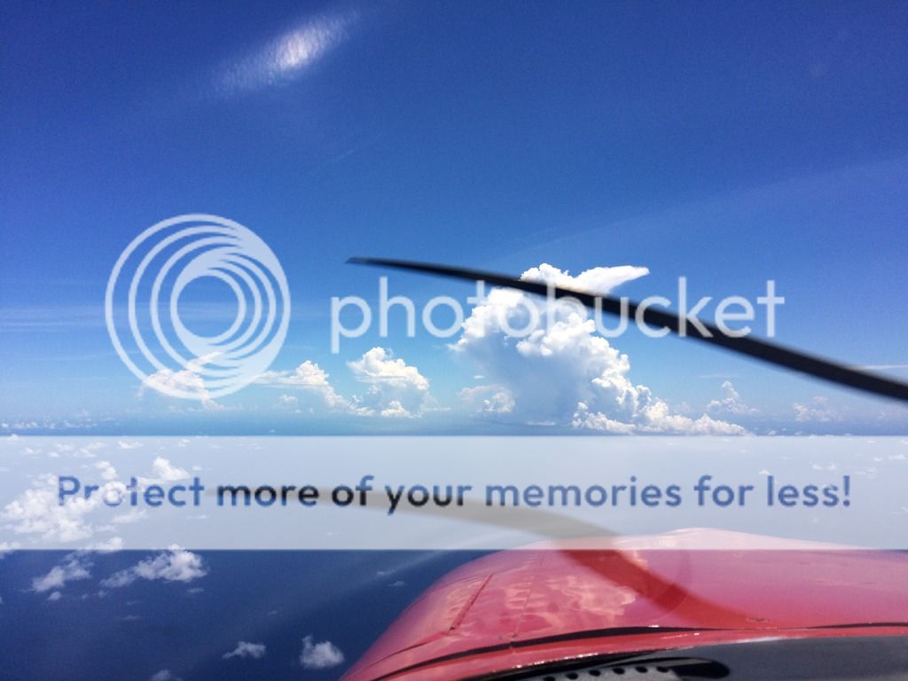
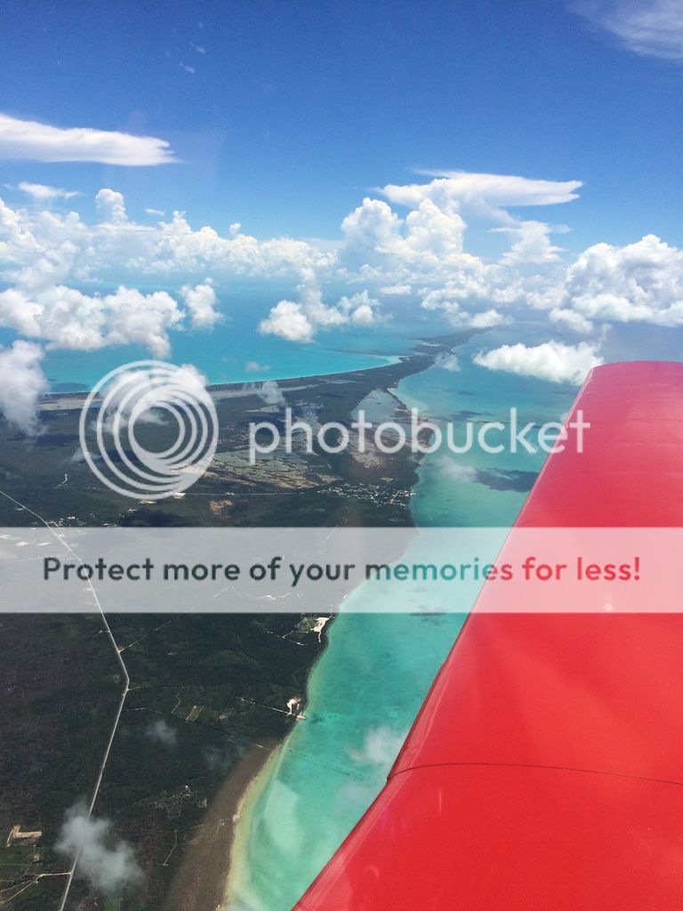
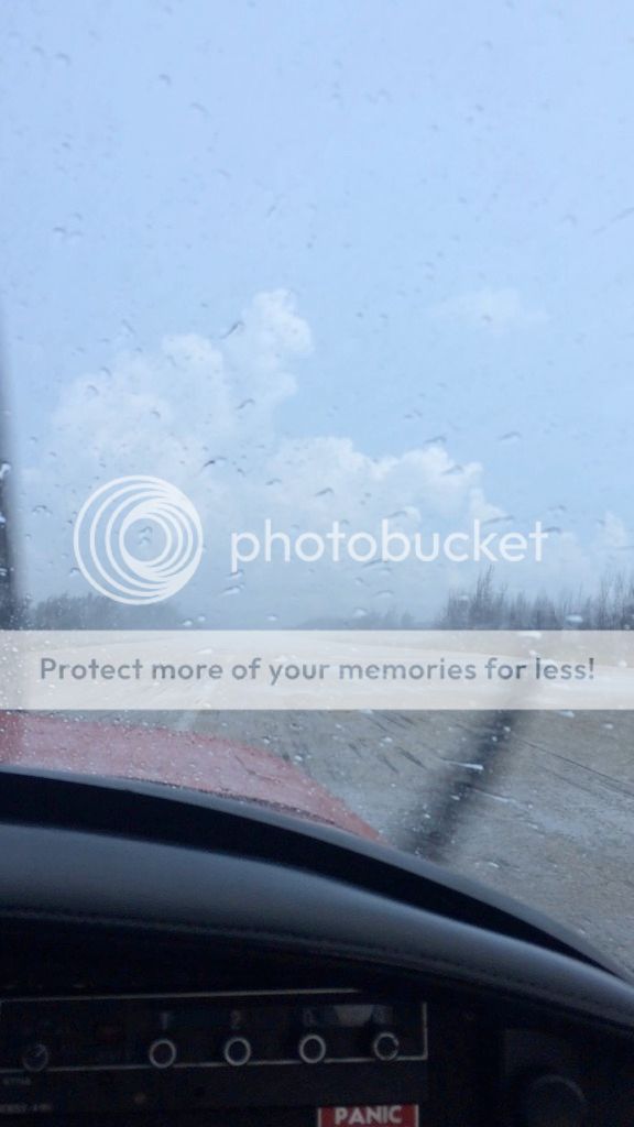
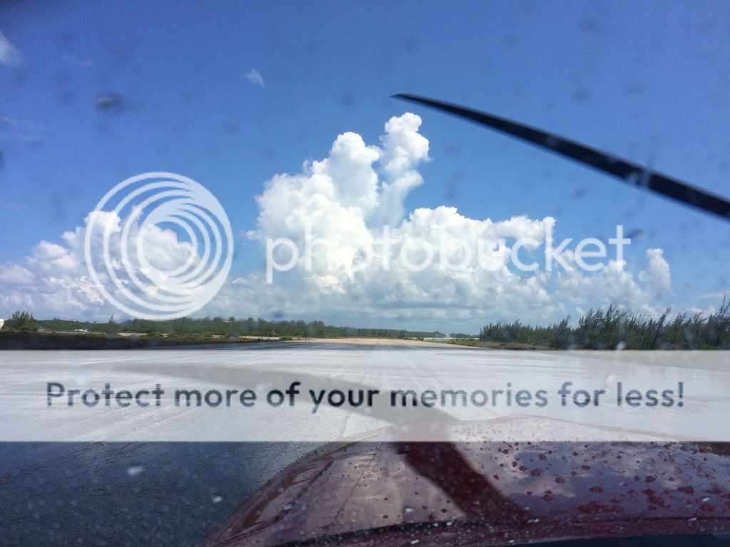
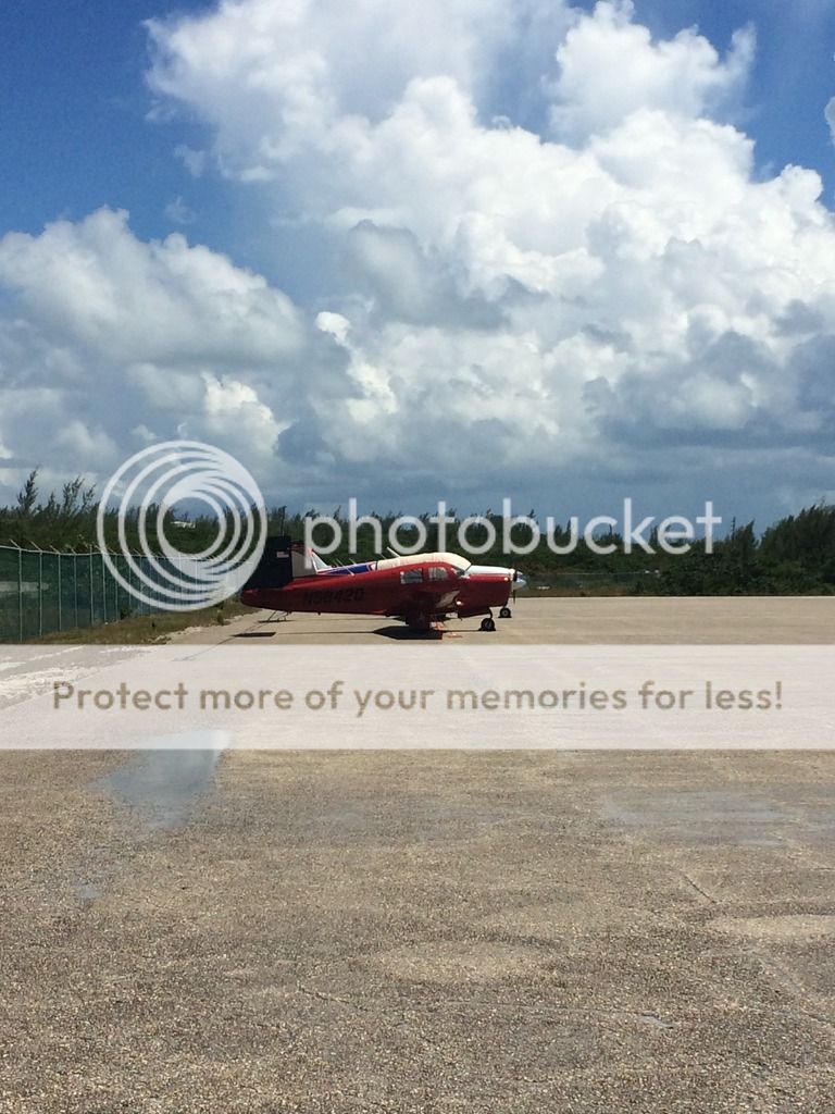
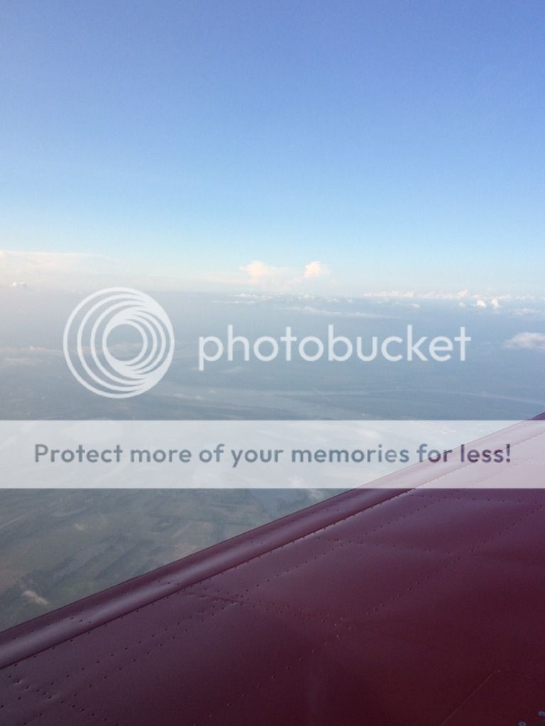
Day 9: 830nm and 7 hours KHRJ-STARY-KFPR-MYEM. BAHAMAS! It was time to head to the Bahamas, we woke up early so we could get out before storms started to really build. The weather was great, until Savanna, GA. Here we ended up having to add about 50Nm to our trip because a weather system was parked right next over my route and I couldn't go east out to see and I couldn't go slightly west because of a restricted area. After an additional 20 minutes we were back on course. We landed in Fort Pierce, FL (KFPR) just in time for lunch. The reason we chose this airport is because the fixed based operator (FBO) has life rafts for rent and they also have customs. It's a great one stop shop for those going to and coming from the Bahamas for info go here (http://www.appjetcenter.com/fortpierce.html) rafts run about $25 a day and life vests $5.50 per day each. After a short ground time we headed out for our ocean crossing flight to the Bahamas. The flight was just under 2 hours and the weather was pretty good. The storms usually build to around 8-10K feet. So if you cruise above this you can usually stay clear. Once I cancelled my IFR we continued visually into Governors Harbour airport. As I came into land I could see it was raining about 1500ft down the short 8000ft runway. So I landed in the beginning and rolled into the rain...it was pretty cool to taxi from no rain, rain and then back to sun! We quickly found a parking spot on our own, tied down and headed into customs.
Flight to the Bahamas
The time you wouldn't be able to glide to land is only around 15 minutes...not bad!
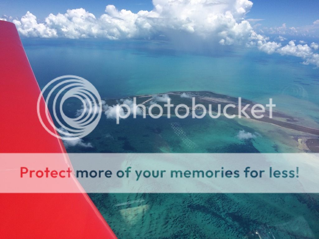
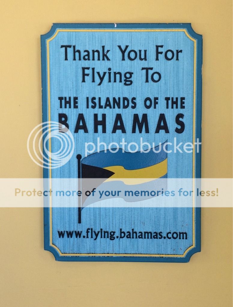
The Bahamas
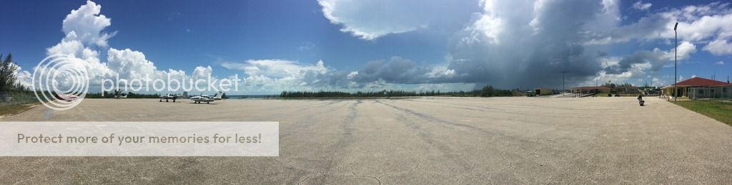
We chose Eleutherea (MYEM) because it's considered and out island that had amazing beaches with far fewer people than the main islands of Nassau & Grand Bahama Island. So here is the information for Governors Harbour, Bahamas.
The Airport: There aren't as many airports in the Bahamas than we have in the US. Although they do have lots of great dirt/corral airstrips you can visit. We chose to stay in one place for our visit, maybe someday down the road we'll go to other airstrips. The airport was easy to find because it was so big, and they do have instrument approaches if you need them. I used a JEPP product to find the approaches. They don't have fuel in MYEM but North Eleuthera does if you need it. When we landed we parked ourselves and walked the bags into customs. It's pretty clear which place to go, it says "ARRIVALS!" You have to pay a $50 fee for arrivals via private aircraft and fill out a couple of customs forms. They have the forms there for you, but you can also order some online. Once they stamp your passports and you fill out the paper you are given a paper that allows you to cruise the Bahamas (I didn't realize I had this till the day I left!). When we left the place opened at 7AM and you pay an additional $28 per passenger...not for the pilot! That was nice as I was expecting to pay for us both. They didn't charge me for parking, so I couldn't complain.
Getting around: Some people just stay at the resort and eat food at the various resorts or take taxi cabs. But the best, and easiest way to get around is to rent a car. Expect to pay around $50+ a day for a car, there aren't many options. We used http://www.wcbigdaddyrentalcars.com/ the owner, Sheree was waiting for us on the other side of customs and gave us a map and directions to all the great places she knew of on the island. She was very nice, and helpful. The car isn't fancy, but it'll do the job. Oh and watch out....you drive on the left here!
Rental Hot Rod
Stay Left
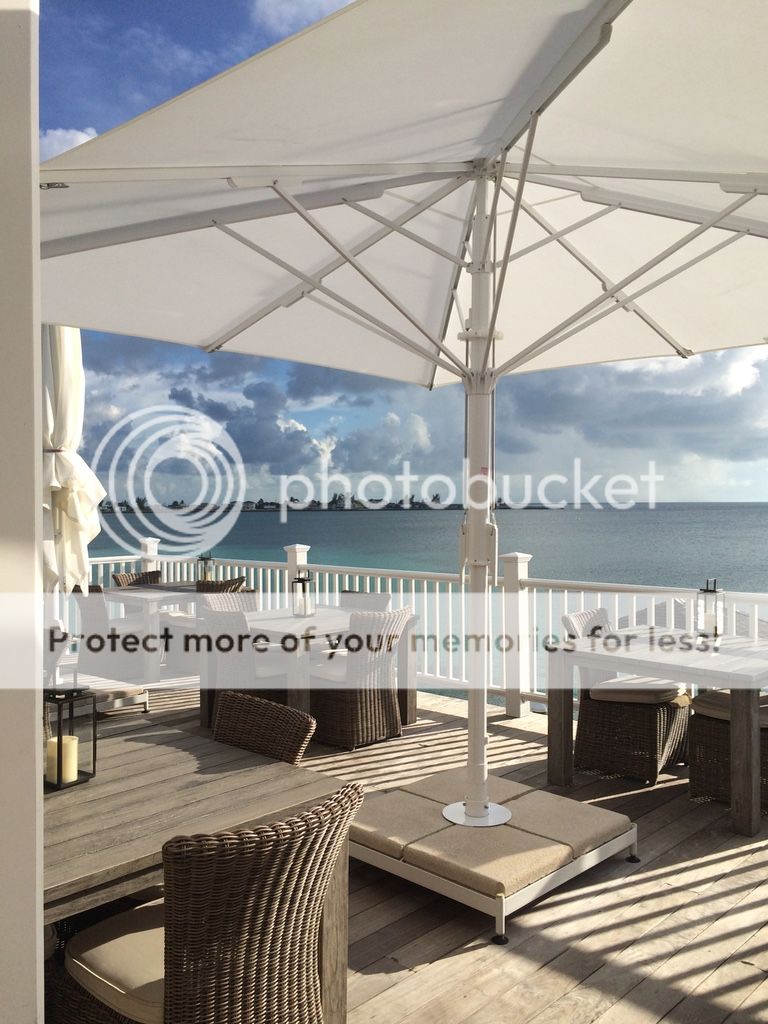
Lodging: We wanted a place that had a beach, wouldn't break the budget and had food nearby. We found all this at Pineapple Fields resort (http://www.pineapplefields.com/) The rooms were very reasonable and they had a restaurant nearby. Of course we also planned to go to other places and eat so this worked out great. They room was surprisingly big. They have a full kitchen so if you want you can cook. They have WIFI and cable TV, not that one wants to watch tons of TV on vacation but at night after hanging out on the beach it was nice. There are other places on the island that you can stay at, one I saw had rooms for $500 a night. The easiest way to find places to stay is using tripadviser.com.
Food: On day one we found out the place across the road from our room was closed (Tippy's). So we looked on tripdviser for a place to eat and found a place called "1684 Bar & Grille." This was by far the best food we had on the Island. If you can, make reservations as they fill up fast. They do have deck seating and inside seating so you can enjoy either warmth or AC. (http://www.tripadvisor.com/Restaurant_R ... hamas.html)
1684
Another place we ate was called Tippy's, the appetizers where good but I wasn't impressed with the salad we had. I'd go back again if I stayed at Pineapplefields or if I went to the beach. http://www.tripadvisor.com/Restaurant_R ... hamas.html
View from Tippy's
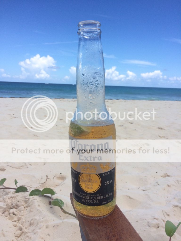
The final place we went was really cool, "Pascal's Ocean Front Seafood restaurant & Pool Bar." We took our towels and chose to just enjoy some cheap drink specials and eat food by the pool. The food was pretty good and I would definitely go back. (http://www.tripadvisor.com/Restaurant_R ... ra_Ou.html)
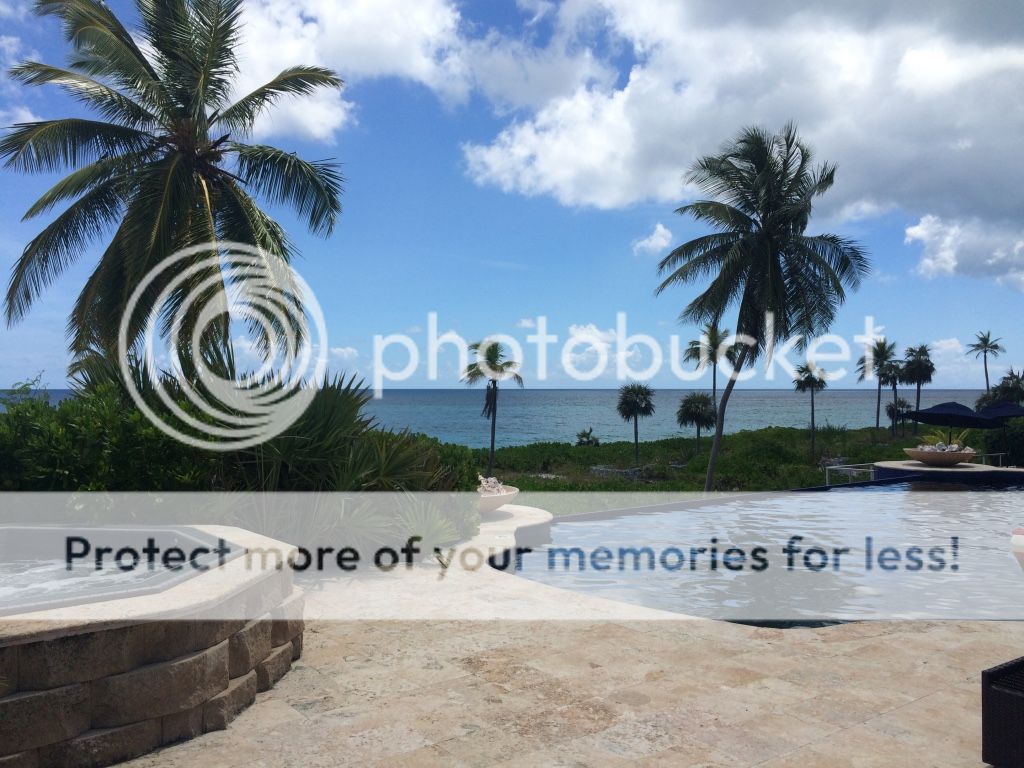
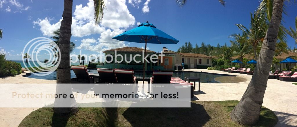
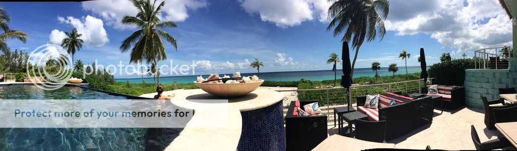
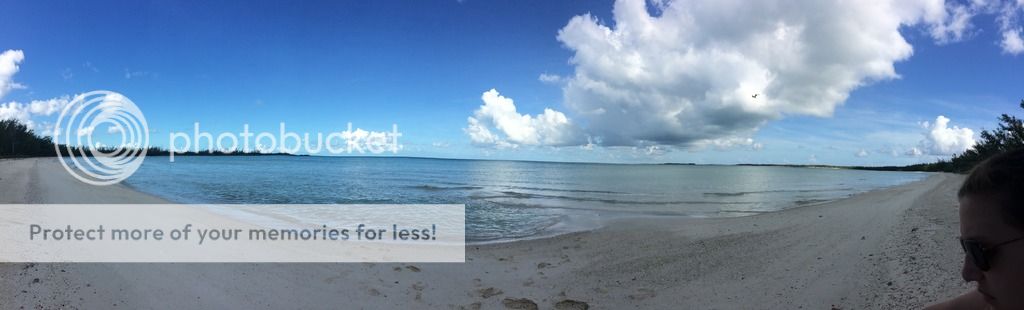
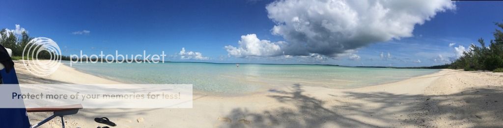
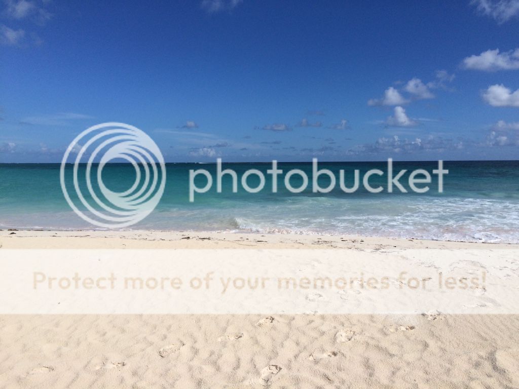
Things to do: Well I would say the best thing to do is sit by the beach and relax! Which is what we did. There are some places you can visit, or if you're a scuba diver that you can dive. Check out tripadvisor for some good ideas. We just went to the beach daily for 3 days and enjoyed the sun, sand and surf. The water is amazingly warm too...I mean this is the Bahamas folks! If you drive around you can most surly find your own private beach to hang out on, and if someone shows up drive down the road and you'll find another. As you can see in the pictures below the water on the West side isn't as deep as the East. I could have walked out over a half mile...but I didn't feel the need! Here are some of the amazing views.
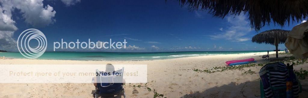
Found our own beach at 9AM
I'm out there a ways not even past my knees!
Amazing Sunset at the 1684 Bar
Pineapple Fields Beach
Getting back to the United States
After our 4 night stay in the Bahamas it was time to get back, next stop was Nashville! When we started planning our departure we realized that if we took off at 7AM, as desired, customs wouldn't be open at Fort Pierce (KFPR) when we arrived. That could quickly become a $5K fine so we ended up returning to Palm Beach (KPBI) going through customs and then proceeding to FPR. This way we could get our day started as planned. This ultimately worked out well for us too as we had to skirt by some weather that would have been in the way if we arrived 30 minutes later. Make sure you call customs 2-23 hours before arrival. I used the WIFI and skype.
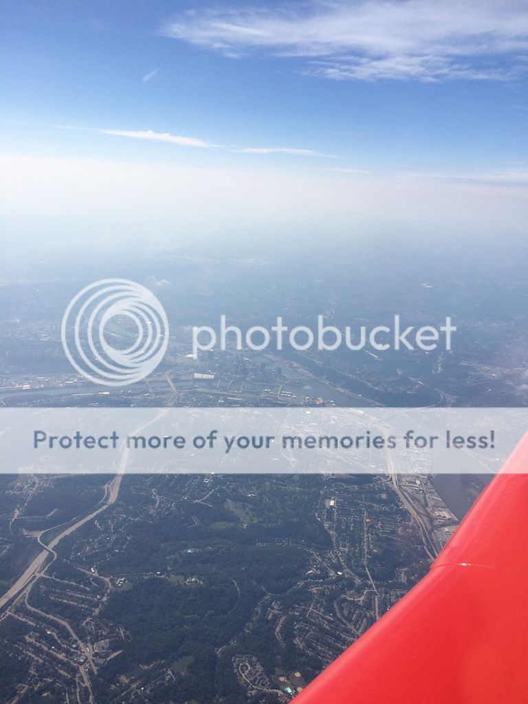
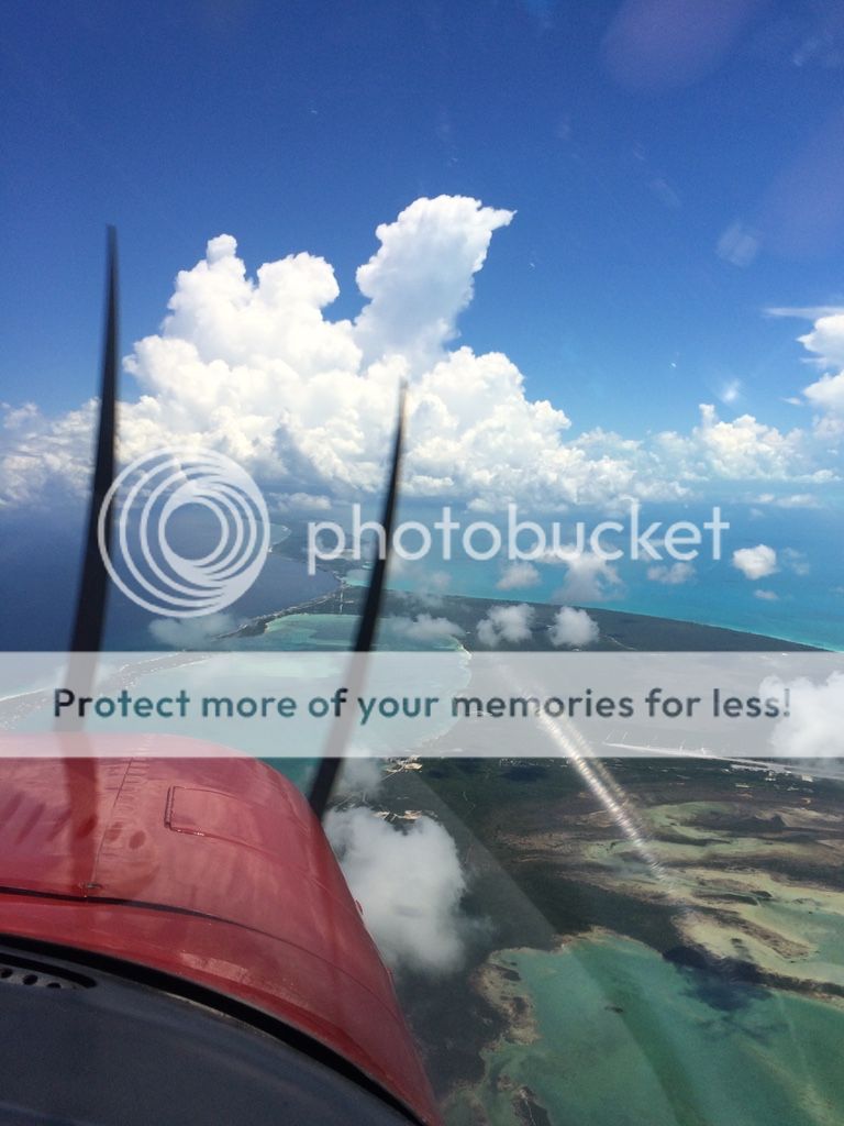
Day 13: 900NM and 7.5 hours. Westbound! When we departed from MYEM it was VFR and I had a IFR clearance, I just had to pick up with approach. When I picked up my clearance they cleared me direct to Palm beach via the ocean....all overwater. I immediately replied back unable, and told them the route I wanted.... MYEM GRREG ZFP KPBI. We settled with my route, although they did give me BR21V after ZFP...which was fine with me, as I was already over the open waters and couldn't do anything about it at that point. We deviated around a storm on long final into PBI and landed uneventfully. It's always nice to return to the United States, it's home and after traveling the world for work over 10 years the feeling of being on US soil is always great! Anyway, we went through customs jumped back in the plane for FPR were we fueled and left for our next fuel stop of Albany, GA.
Some big storms rolling in
After grabbing food in Albany, GA (Which has good fuel prices and a crew car) we were on our way to Nashville! We did have to get an IFR clearance but the weather when we landed was great and the temperature was nice.
Nashville
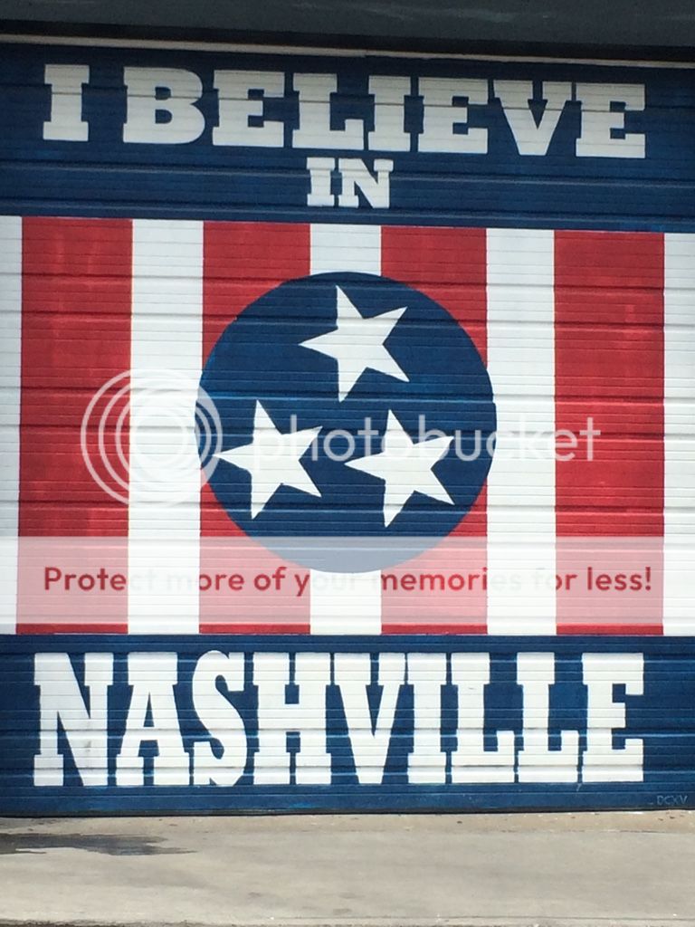
We really wanted to visit Nashville so we just turned the plane in that direction and went. That's the beauty of having your own plane, you can do what you want! We only had a day and a half to spend in Nashville but we made the most of it. I would really love to go back here for some more good food and shows. Oh and we started our visit by seeing Keith Urban at the airport, haha cool!
Airport to fly into: Originally I was going to fly into KJWN, however they didn't have many hotels near that airport so we called to see how expensive it would be to fly into Nashville International Airport. I was surprised that they only charged 7 gallons min or $30 for fee's, and parking was $12 a night ($10 @ JWN) on the weekends they have a reduced cost of fuel ($6.76). I would also spend less on a rental car and be right next lots of inexpensive hotels, so we went to BNA. The controllers where very accommodating and it seems like they deal with both big Iron and GA. I used Signature, the comments for the other place didn't look good.
Following a Southwest 737
Tucked away for the next two nights (They have hangar space too if needed)
Getting around: The FBO offered a rate of around $28 a night for a car through national. If you stay really long you can get a ride to the main terminal then you have to do a back and forth thing. I would much rather the line guy pull the car up to my plane, which they did. Taxes on the car aren't cheap. The car at the JWN airport was $48 a day, so we did save some money. Parking downtown wasn't really hard, but it wasn't always cheap. Several of the places had complimentary valet parking which was amazing. A car is needed, especially if you want to explore all over Nashville.
Lodging: There are tons of places to stay in Nashville, this is really going to be personal preference. We took a gamble on priceline.com to get a cheap place in a certain area and ended up at the Radisson. It was pretty nice, as expected and we made out at $200 for 2 nights. Ask the FBO's for airport deals too and they might be able to help.
Food: We didn't have time to eat every place we wanted in the city, they just had so many amazing options. But the places we did eat I would highly recommend! (sorry I didn't take lots of pictures here)
Bakersfield Nashville - Amazing Tex-Mex (http://www.yelp.com/biz/bakersfield-nashville-nashville)
Biscuit Love Brunch - Breakfast...so good! (http://www.yelp.com/biz/biscuit-love-br ... q=biscuits)
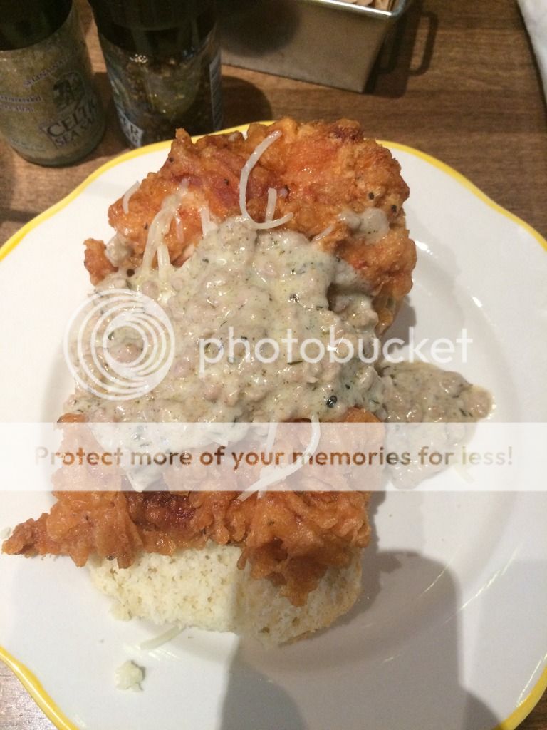
Part Fowl - Chicken, good chicken! (http://www.yelp.com/biz/party-fowl-nashville-2)
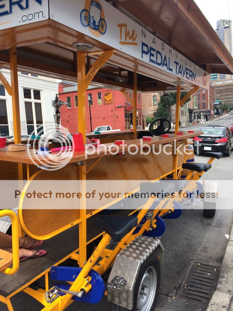
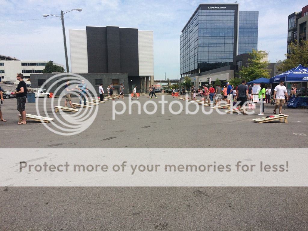
Things to do: This is Nashville, so you can either spend a day or a week depending on how much time you have. We only had a day and a half so we decided to get some good food our first night and make plans for the next day. We ended up eating breakfast and then heading over to a distillery called "Corsair Distillery" (http://www.corsairdistillery.com/). We didn't like the taste testing of straight whiskey so we just walked through the several cool shops in the same building and then ended up at a wine tasting on the other side of the building. It was called "Grinder's Switch Winery" (http://gswinery.com/) and they had some great wine, that we ended up buying....hey no 3oz limit on my airplane! We also listened to some live music on Broadway and just walked around downtown.
This looks like fun
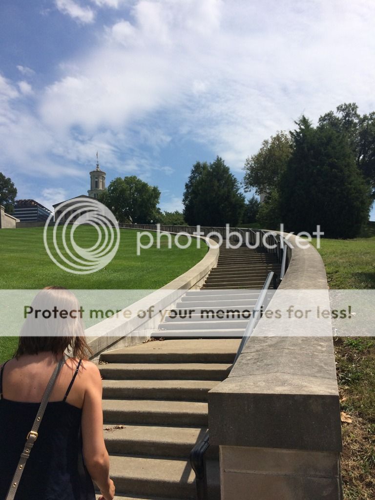
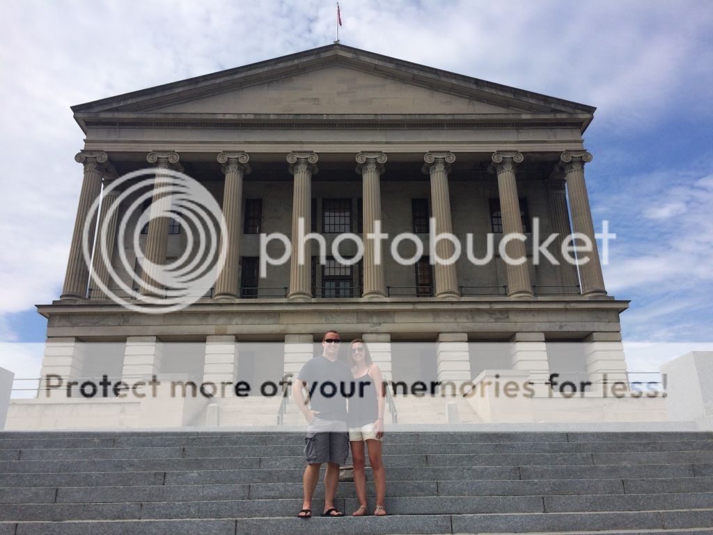
After enjoying some beverages we headed up to the Capital building, which wasn't exactly a short walk! It was a great spot to get a view of the city and everything around it. We took some fun pictures, and then headed to our next stop.
Capital Steps
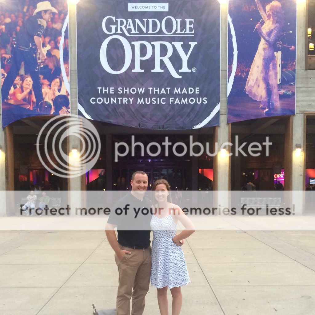
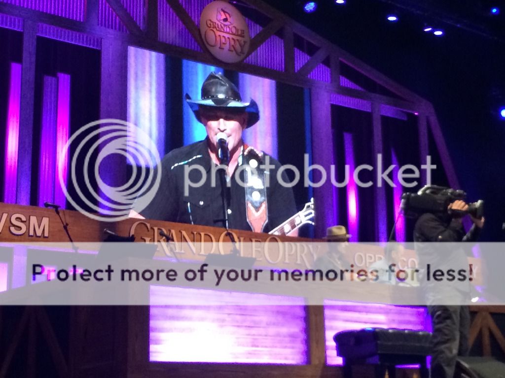
One of the highest recommendations I can give is to go to the Grand Ole Opry. It was the highlight of our visit to Nashville and we really enjoyed being in such a historical spot. (http://www.opry.com/) P.S. Check with your hotel for possible discounts. We realized when we got back from the show they had $5 off tickets. Doh!
Another long day...in fact the longest!
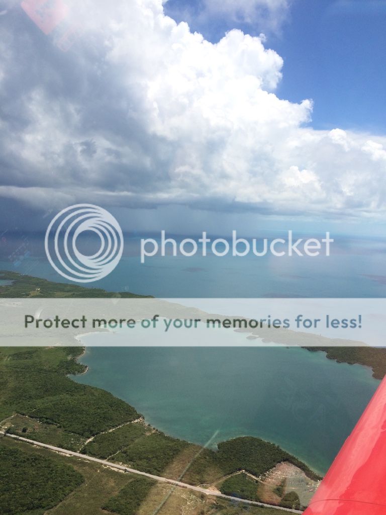
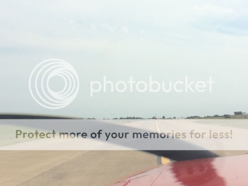
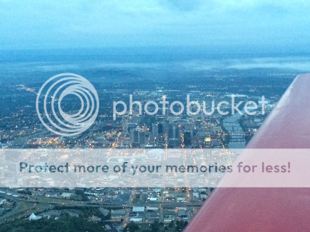
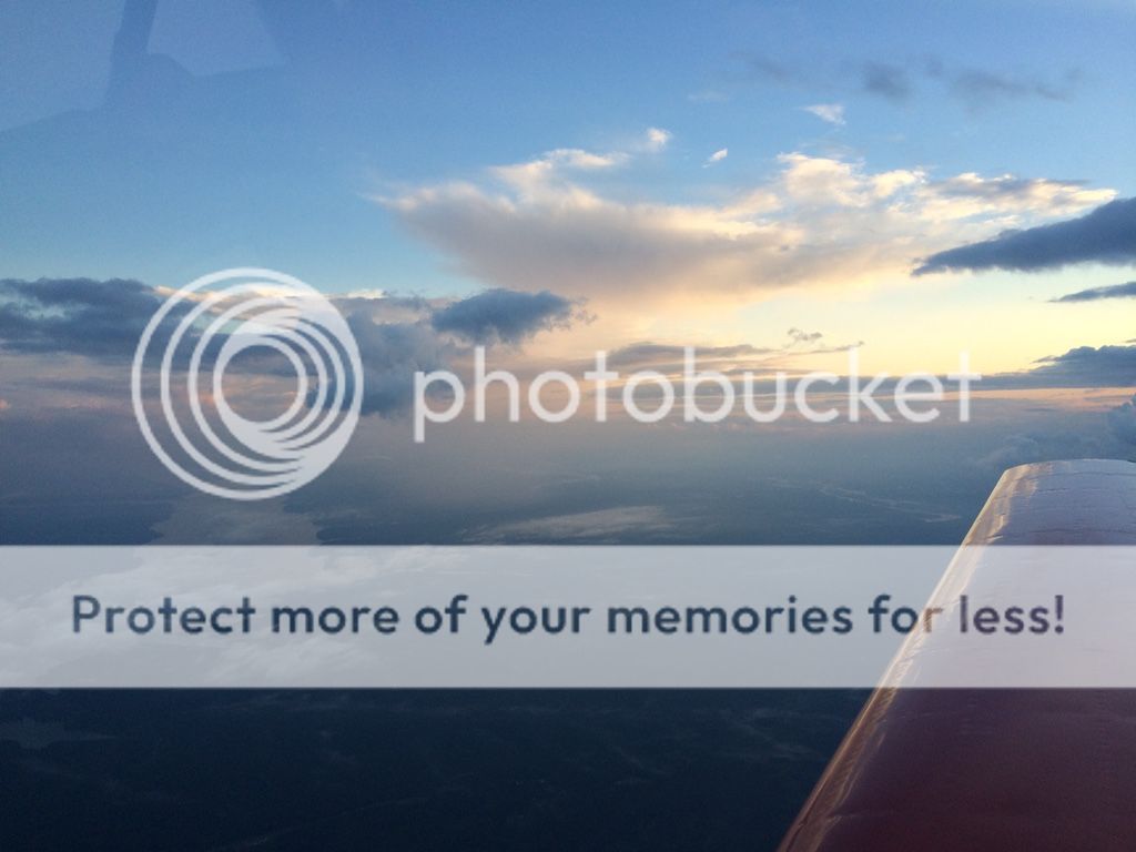
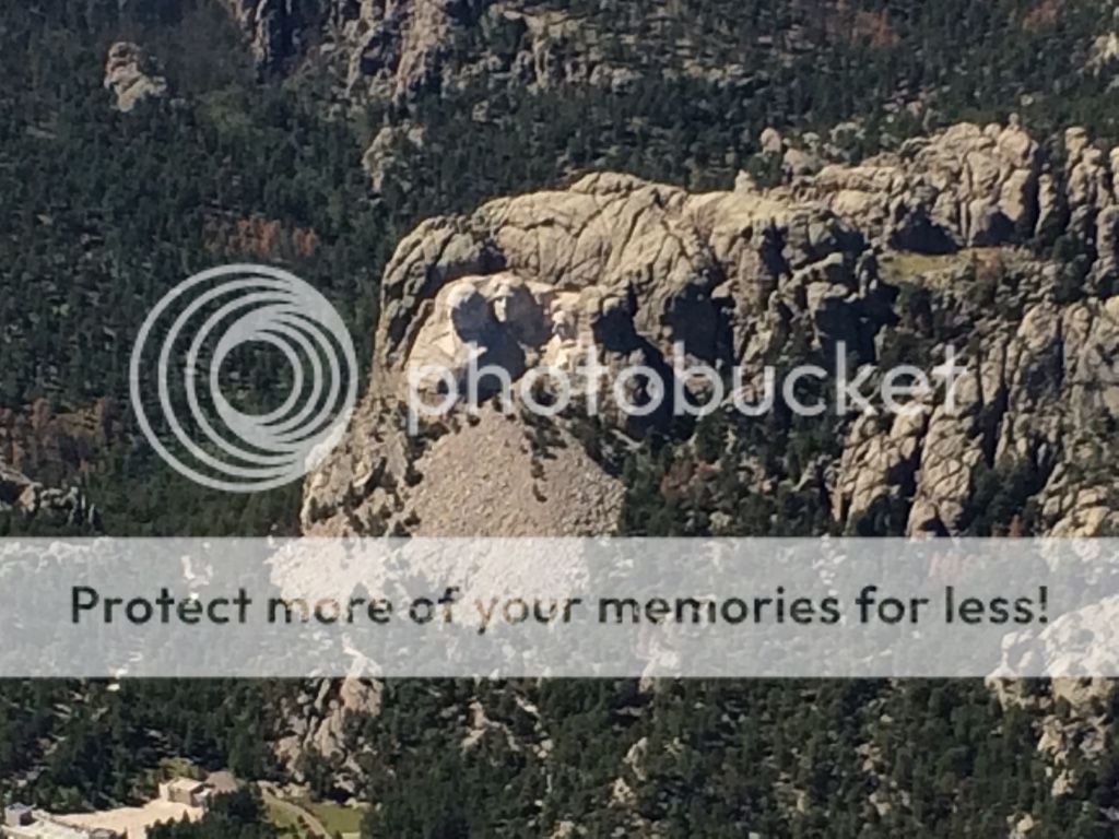
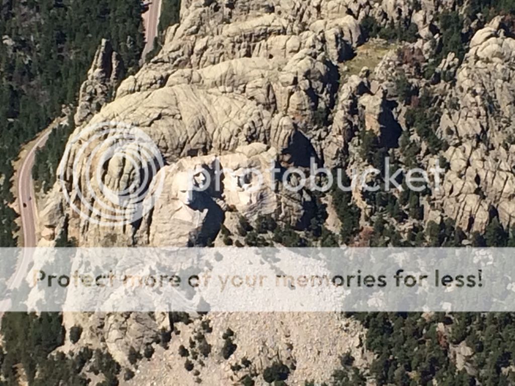
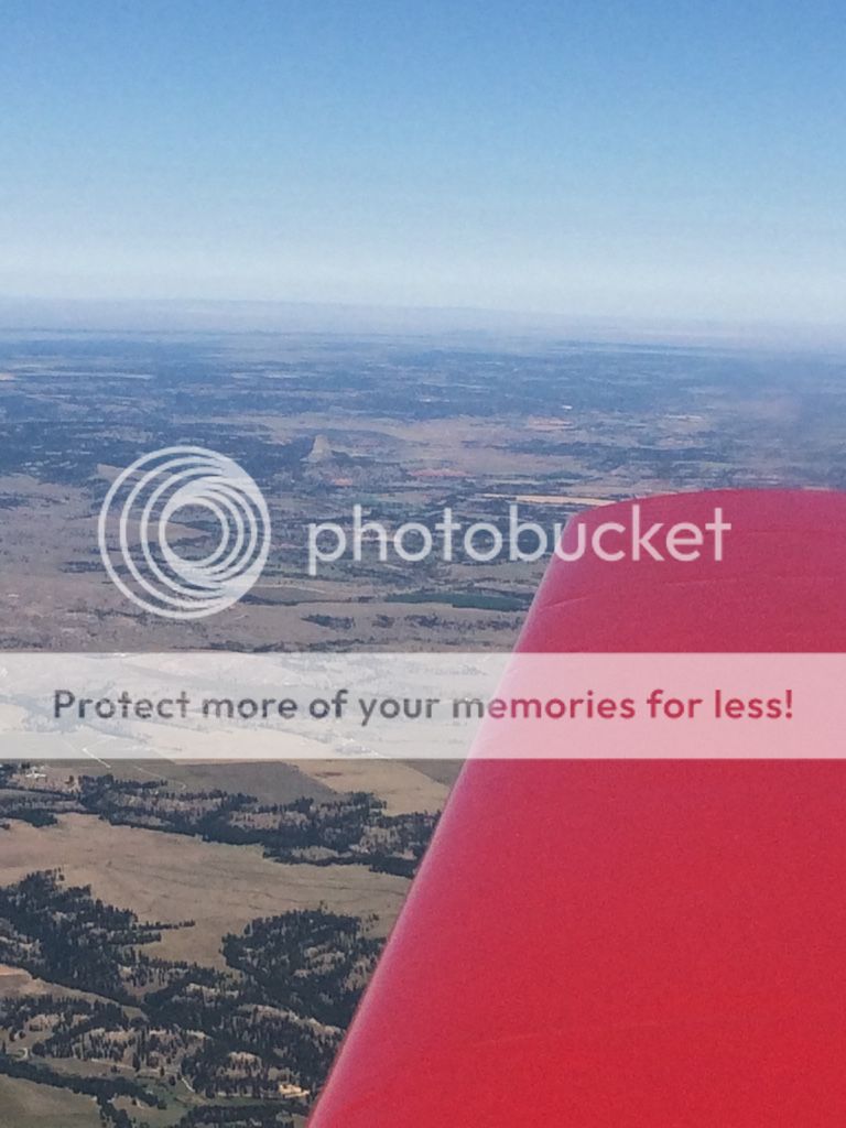
Day 15: 1400nm and 13hrs. Well, the day wasn't supposed to be that long but the winds kicked our butts....oh well! We originally planned to fly up to Rapid City and see Mt. Rushmore for a day, but we later decided that we'd rather get up to MT and see some of our friends south of Missoula. Instead we decided we'd just fly by Mt Rushmore after getting fuel, it worked out great. We took off right at 6AM from Nashville. The sunrise was great and we really didn't have much for weather, just those winds. After landing for fuel we busted out our Jimmy Johns Sandwiches, yummy! After getting gas in Rapid city we took off and flew by Mt Rushmore. Do this at 7700 ft or 1/2 mile from the monument or they get mad.
Departing Nashville
Missouri/Ohio River
JJ
Flat country
Badlands
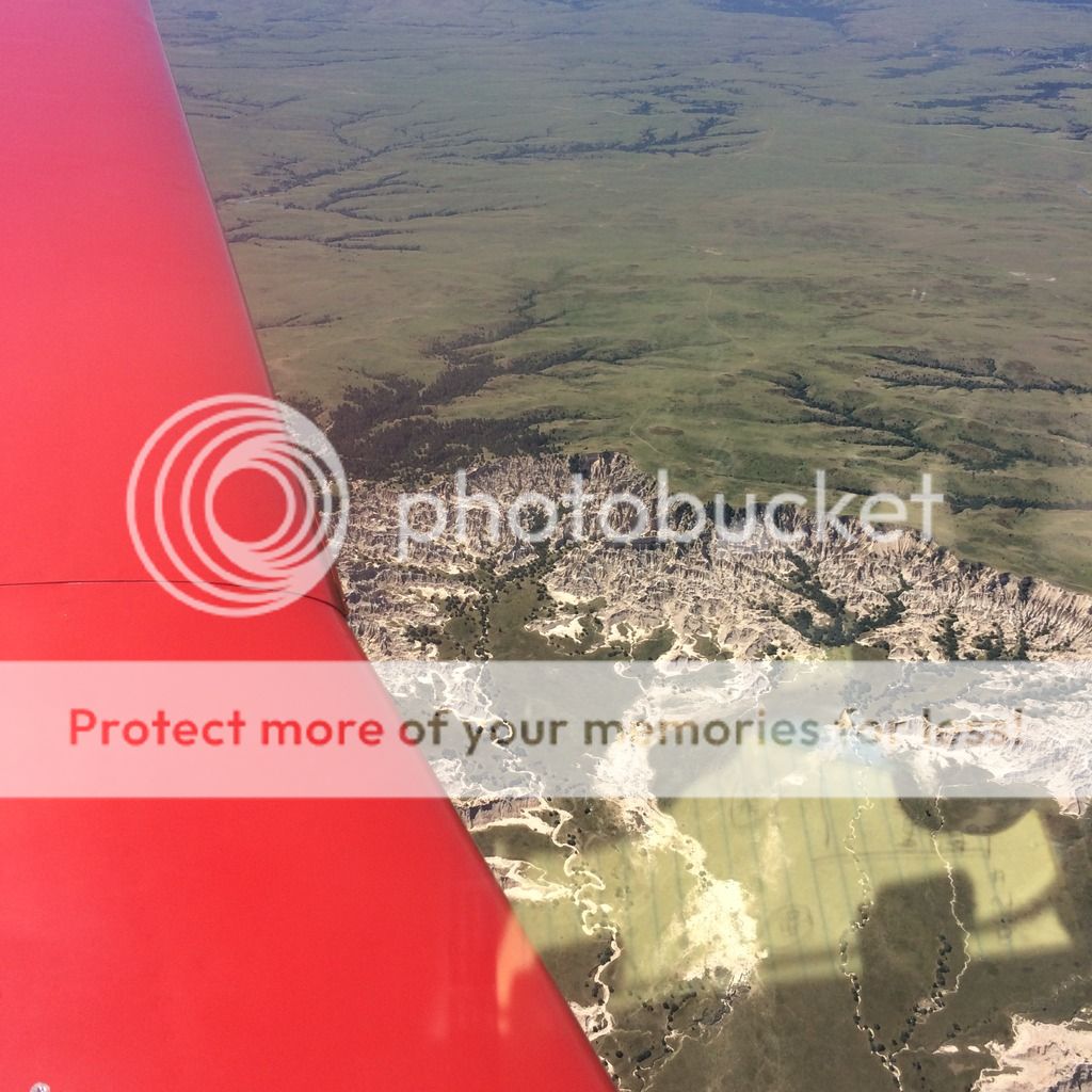
Mt. Rushmore
Devils Tower - You gotta look carefully!
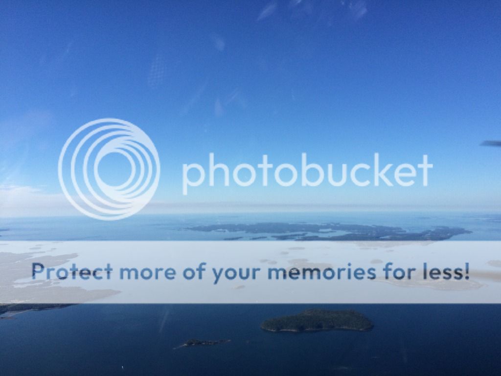
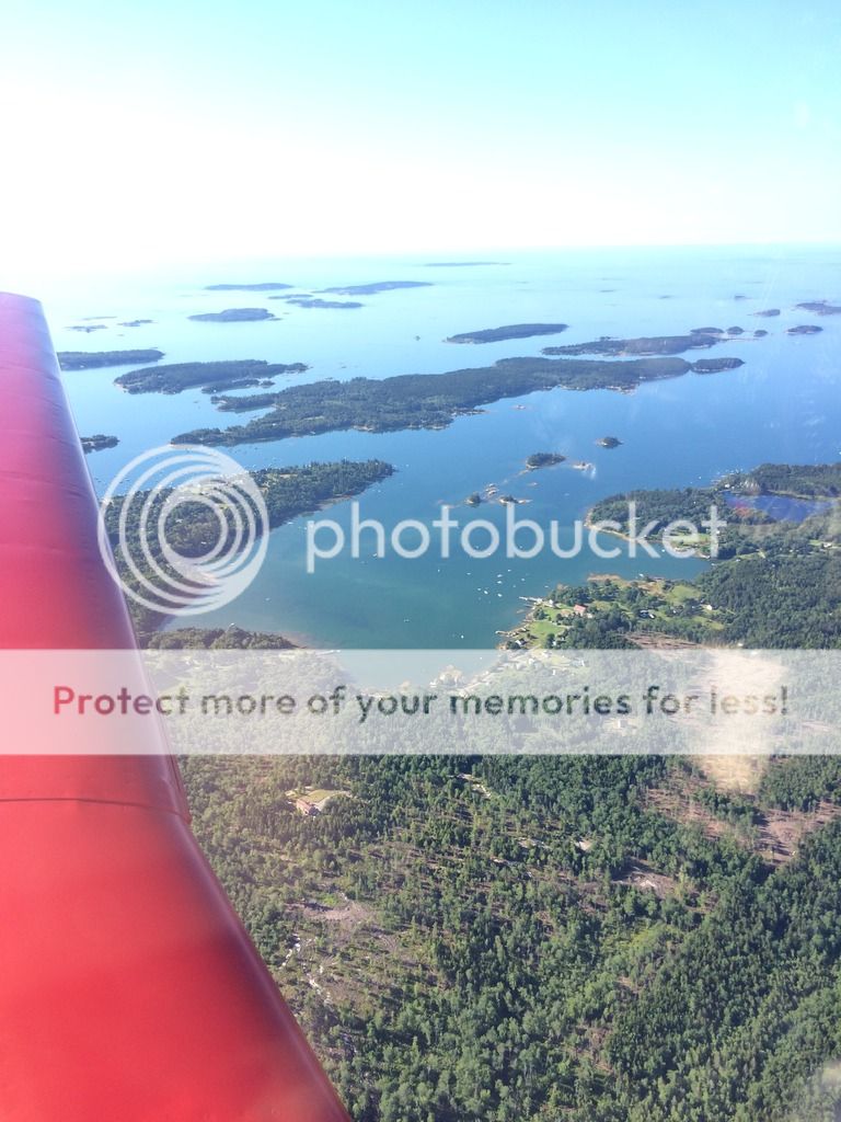
Now as some of you may know the Pacific northwest is on fire. It's bad, below is a map of all the fires shown by flight restrictions (the red area's)...
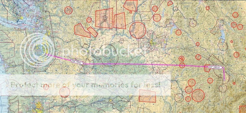
...Because of these fires and the headwinds I ended up having to stop for fuel . Because if I shot an approach and went missed I wouldn't have any options for alternates within an hour, stupid smoke. We stopped, got fuel and continued. I was very happy to land and this was a picture I took of the airplane sitting on the ramp. Behind this is the Bitterroot Range of mountains that go as high as 9587 Ft. and are less than 10 miles away. Visibility was horrible.
No more flying today!
The final day: 360nm & 3 hrs. YAY almost home! After two weeks of being away from home we were happy to be getting home. The bad part was that the smoke was still really bad, in fact there was a time that I couldn't see a mountain that was less than 4000ft below me. This is why I was IFR until the last 30 minutes of our flight. I was thankful that the West side was clear but definitely have those on the East side in prayer. Those fires are horrible.
It was great seeing our friends! Again there is a Mt Range behind us....
Can't even see the ground - VFR not recommended
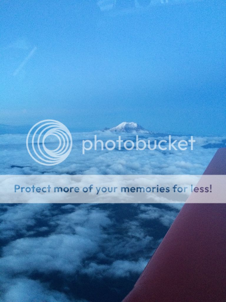
Mt Rainier through the layers
Lake Cle Elum - The smoke finally cleared up!

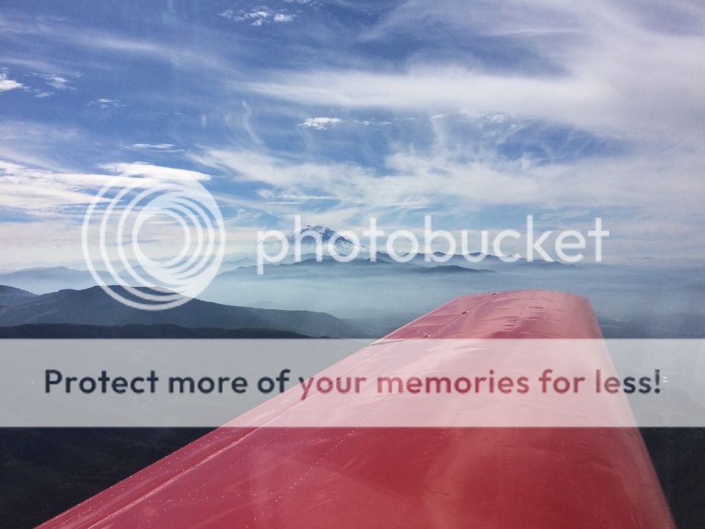
Now a final picture, which was the end of my trip. What an AMAZING view that never gets old!
Mt Rainier
If you're still with me I hope you enjoyed hearing about the trip, and hopefully got some ideas for a future trip yourself. Again I want to say just how lucky I am to have such an amazing wife, thanks Janelle!
If you have any questions please ask!